


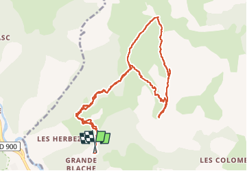

11.9 km | 22 km-effort

User


FREE GPS app for hiking
 SityTrail
IGN / Geographical institutes
SityTrail World
The world is yours!
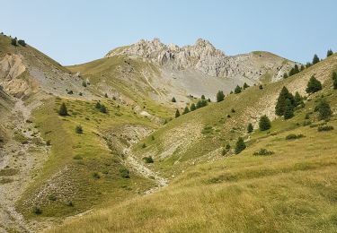
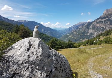
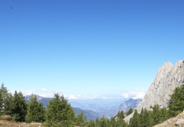
Trail Walking of 13.1 km to be discovered at Provence-Alpes-Côte d'Azur, Alpes-de-Haute-Provence, Méolans-Revel. This trail is proposed by nadd73.
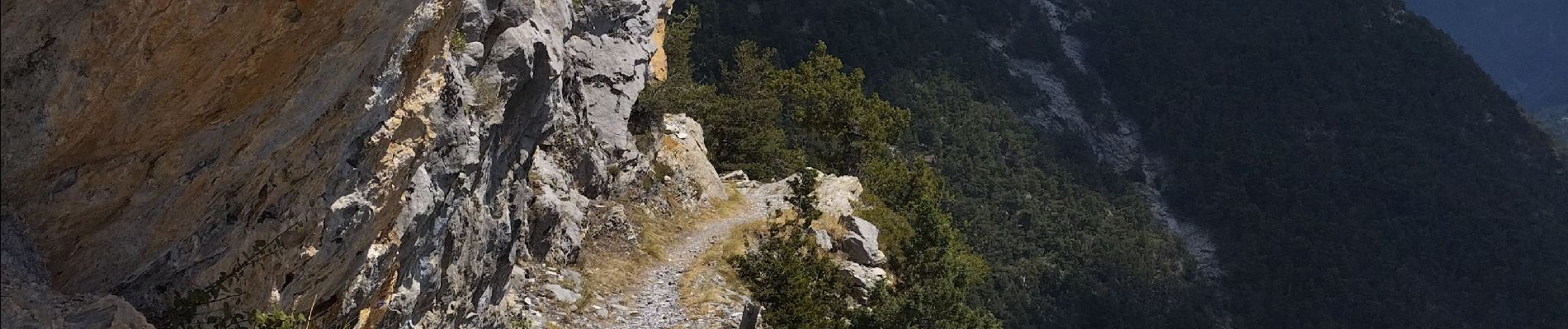
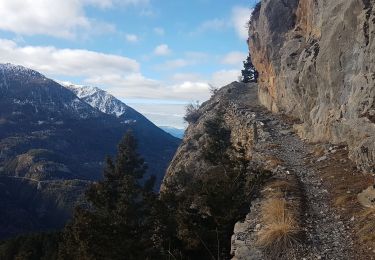
Aérien pour la traversée du Peissieou et descente de l'arête.
Avoir un pied sûr et ne pas avoir le vertige.


Walking
Walking

Mountain bike

Walking
Walking
Walking
Walking
Touring skiing

Touring skiing