Trail Walking Méolans-Revel - Petite Séolane - Photo
 David25400
David25400

User GUIDE

© OpenStreetMap contributors
Length
Length
11.2 km
Max alt
Max alt
2838 m
Uphill gradient
Uphill gradient
1281 m
Km-Effort
Km-Effort  
28 km
Min alt
Min alt
1561 m
Downhill gradient
Downhill gradient
1282 m
Boucle
Boucle
Yes
Creation date :
2020-08-18 07:24:02.998
Updated on :
2020-08-18 12:58:50.231

(0 Reviews)

Walking
Walking
5h33
Difficulty : Difficult

Scan this QR Code to open this trail in the SityTrail application

FREE GPS app for hiking

Logo SityTrail SityTrail

IGN / Geographical institutes

Download SityTrail from the App Store Download SityTrail from Google Play

Logo SityTrail SityTrail World

The world is yours!

Download SityTrail from the App Store Download SityTrail from Google Play Download SityTrail on Huawei AppGallery

About

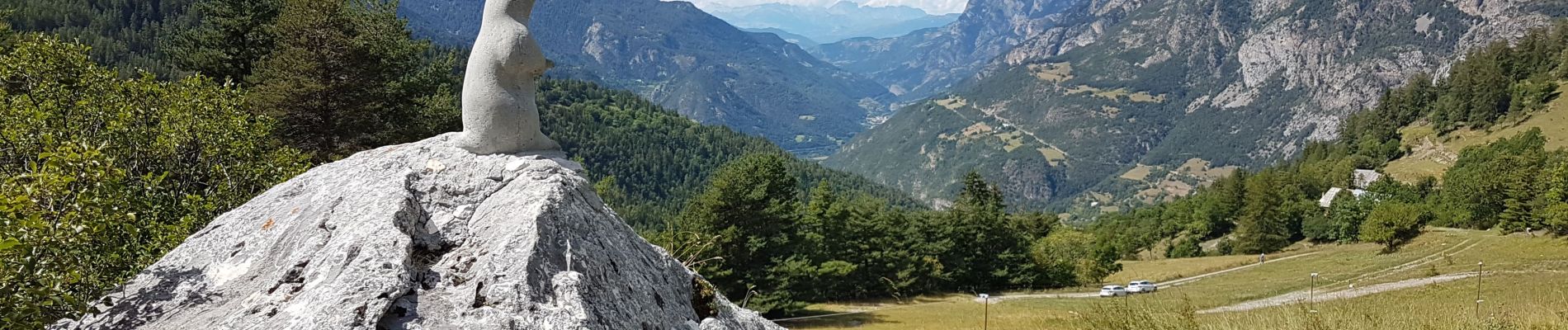
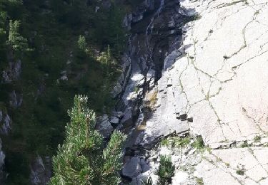
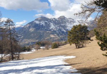
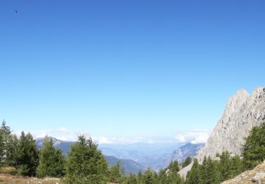
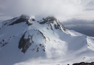
Trail Walking of 11.2 km to be discovered at Provence-Alpes-Côte d'Azur, Alpes-de-Haute-Provence, Méolans-Revel. This trail is proposed by David25400.

Description

Aller par col de Séolane, retour par col de Terre Froide (via col de Davdine ?)

Elevation profile

Photos

Positioning

Country:
France
Region :
Provence-Alpes-Côte d'Azur
Department/Province :
Alpes-de-Haute-Provence
Municipality :
Méolans-Revel
Location:
Unknown
Start:(UTM)
301273 ; 4917272 (32T) N.

Trails nearby

Trail Walking Méolans-Revel - les eaux tortes - Photo
Walking
gildascb

Walking

Easy
(1)
Méolans-Revel, Provence-Alpes-Côte d'Azur, Alpes-de-Haute-Provence, France
15.5 km | 24 km-effort
4h 45min
Yes
Trail Walking Les Thuiles - les Thuiles/les pras - Photo
Walking
andre06130

Walking

Difficult
(1)
Les Thuiles, Provence-Alpes-Côte d'Azur, Alpes-de-Haute-Provence, France
9.6 km | 16.3 km-effort
3h 42min
Yes
Trail Mountain bike Méolans-Revel - tour au sud de Méolans - Photo
Mountain bike
andre06130

Mountain bike

Medium
(1)
Méolans-Revel, Provence-Alpes-Côte d'Azur, Alpes-de-Haute-Provence, France
15.9 km | 24 km-effort
1h 40min
Yes
Trail Walking Méolans-Revel - Boucle Col des Terres Blanches - Croix Chateau Renard 20/09/19 - Photo
Walking
GUIDE
R@ph

Walking

Very difficult
Méolans-Revel, Provence-Alpes-Côte d'Azur, Alpes-de-Haute-Provence, France
9.9 km | 23 km-effort
4h 24min
Yes
Trail Touring skiing Méolans-Revel - Le Dos de Chameau - Photo
Touring skiing
GUIDE
David25400

Touring skiing

Medium
Méolans-Revel, Provence-Alpes-Côte d'Azur, Alpes-de-Haute-Provence, France
13.8 km | 29 km-effort
5h 16min
Yes
Trail Touring skiing Les Thuiles - Les Plastres - Photo
Touring skiing
GUIDE
David25400

Touring skiing

Medium
Les Thuiles, Provence-Alpes-Côte d'Azur, Alpes-de-Haute-Provence, France
13.4 km | 26 km-effort
4h 38min
Yes
Trail Touring skiing Méolans-Revel - Tête de Louis XVI - Photo
Touring skiing
GUIDE
David25400

Touring skiing

Medium
Méolans-Revel, Provence-Alpes-Côte d'Azur, Alpes-de-Haute-Provence, France
10.4 km | 23 km-effort
3h 57min
Yes
Trail Walking Méolans-Revel - Les Eaux Tortes - Col de Vautreuil - Photo
Walking
GUIDE
David25400

Walking

Medium
Méolans-Revel, Provence-Alpes-Côte d'Azur, Alpes-de-Haute-Provence, France
27 km | 45 km-effort
8h 6min
Yes
Trail Walking Méolans-Revel - tête de Louis xiv, le Peissieou, Clochuille - Photo
Walking
nadd73

Walking

Difficult
Méolans-Revel, Provence-Alpes-Côte d'Azur, Alpes-de-Haute-Provence, France
13.1 km | 28 km-effort
4h 19min
Yes


Close
My subscriptions