


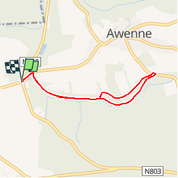


10.8 km | 14.2 km-effort
Randonnées de la Grande Forêt de Saint-Hubert GUIDE+


FREE GPS app for hiking
 SityTrail
IGN / Geographical institutes
SityTrail World
The world is yours!
Trail Walking of 2.9 km to be discovered at Wallonia, Luxembourg, Saint-Hubert. This trail is proposed by La Grande Forêt de Saint-Hubert.
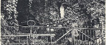
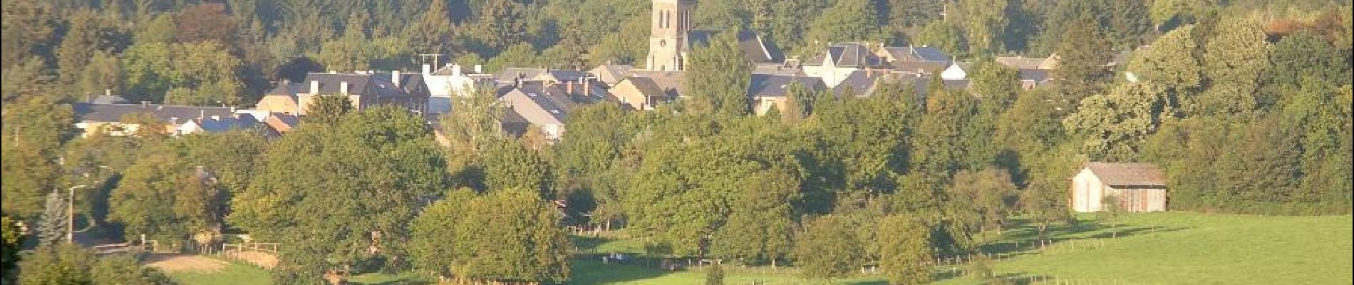
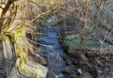
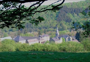
Cette jolie petite balade vous offrira le calme et la sérénité que vous êtes venus chercher. Légèrement vallonné, ce magnifique parcours forestier vous mènera jusqu'à la grotte Notre-Dame de Lourdes.
Vous pouvez également compléter votre circuit avec la balade "Au Pays des Sabotis".
Extrait de la carte de promenade « Au Pays de Saint-Hubert » (30 balades pédestres, 6 circuits VTT – carte topographique 1/25.000) disponible au Royal Syndicat d’Initiative de Saint-Hubert au prix de 8€.
Royal Syndicat d’Initiative de Saint-Hubert
Place du Marché, n°15
B-6870 SAINT-HUBERT
Tél.: 32 (0)61 61 30 10
Fax: 32 (0)61 61 54 44
rsi@saint-hubert-tourisme.be
www.rsi-sainthubert.be
facebook.com/rsisainthubert
 - Photo 1")
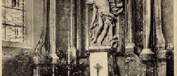
 - Photo 2")
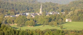
 - Photo 3")

Walking
Walking

Walking

Walking

Walking

Walking

Walking
Walking
Walking