


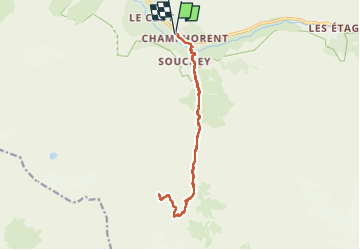

12.2 km | 20 km-effort

User


FREE GPS app for hiking
 SityTrail
IGN / Geographical institutes
SityTrail World
The world is yours!
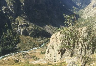
Trail Walking of 16 km to be discovered at Auvergne-Rhône-Alpes, Isère, Saint-Christophe-en-Oisans. This trail is proposed by GuyVachet.
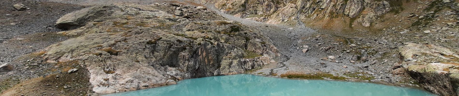
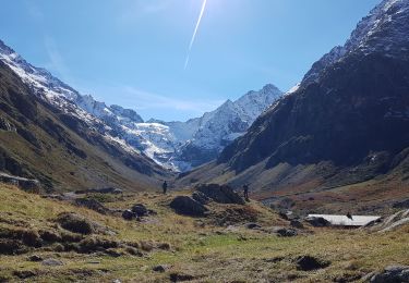
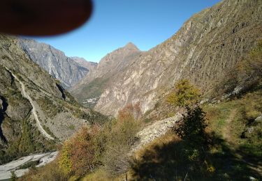
La montée commence par une descente pour passer le Vénéon par un joli pont de pierre. La suite dans le vallon de la Lavey monte régulièrement jusqu'au Refuge de Lavey puis l'itinéraire se relève franchement pour atteindre le lac glaciaire des Bèches. Belle vue sur la Tête des Fétoules. Retour par le même itinéraire.


Walking
Walking

Walking

Walking
Walking

Walking

Walking

Walking

Walking