


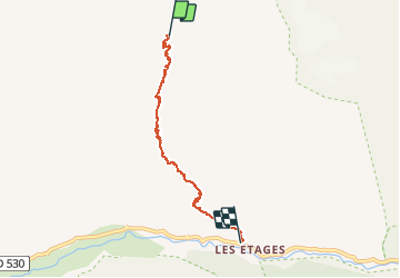


16 km | 31 km-effort

User


FREE GPS app for hiking
 SityTrail
IGN / Geographical institutes
SityTrail World
The world is yours!
Trail Walking of 5.6 km to be discovered at Auvergne-Rhône-Alpes, Isère, Saint-Christophe-en-Oisans. This trail is proposed by RD78-38.
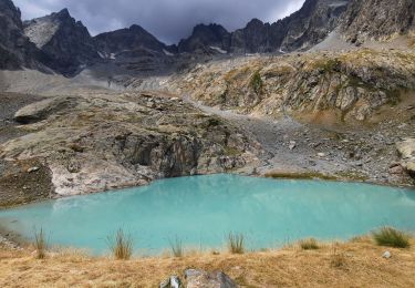
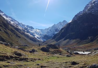
Descente sans aucune difficulté aux milieux de paysages exceptionnels avec des éclairages différents de la montée qui s'effectue par le même trajet.


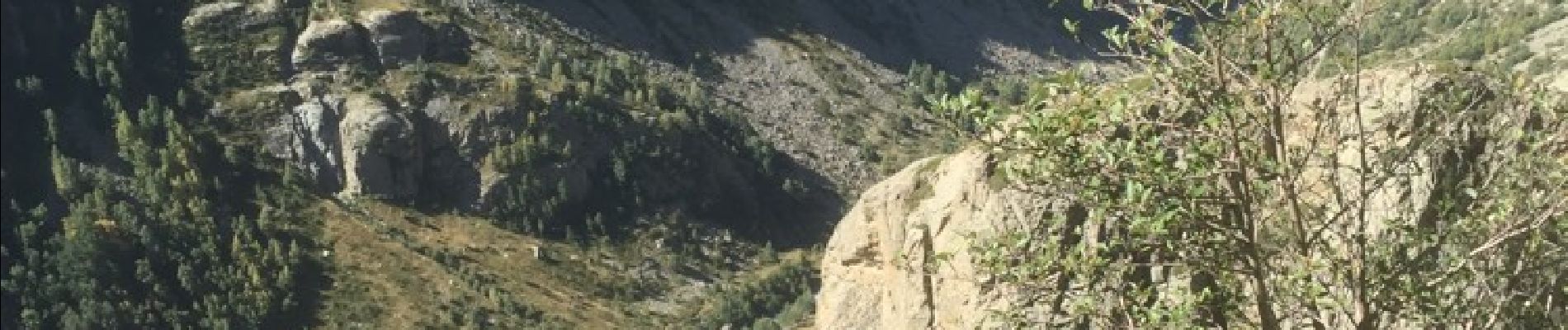
22 photos in total. Please click on a photo to see them all in the gallery.
Walking
Walking

Walking

Walking

Walking

Walking

Walking

Walking

Walking