


vallouise- pelvoux les 3 refuges

bernir
User
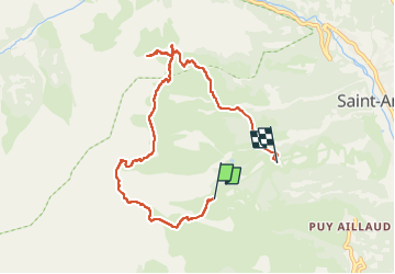

Length
8 km

Max alt
2565 m

Uphill gradient
493 m
Km-Effort
15.9 km

Min alt
1796 m

Downhill gradient
886 m
Boucle
No
Creation date :
2022-08-04 14:24:15.898
Updated on :
2022-08-28 12:15:27.485
6h40
Difficulty : Medium

FREE GPS app for hiking
 SityTrail
IGN / Geographical institutes
SityTrail Plus
The world is yours!
About
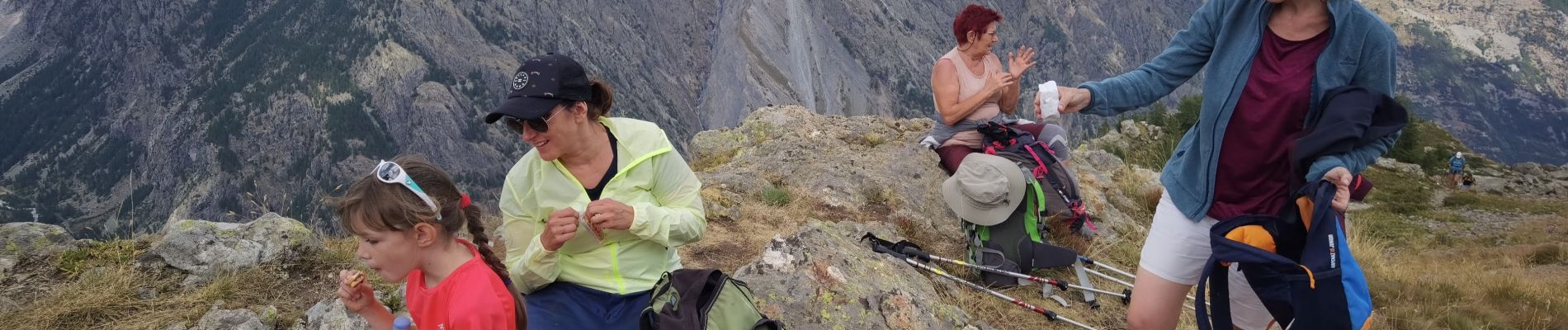
Trail Walking of 8 km to be discovered at Provence-Alpes-Côte d'Azur, Hautes-Alpes, Vallouise-Pelvoux. This trail is proposed by bernir.
Photos

Positioning
Country:
France
Region :
Provence-Alpes-Côte d'Azur
Department/Province :
Hautes-Alpes
Municipality :
Vallouise-Pelvoux
Location:
Unknown
Start:(Dec)
Start:(UTM)
299309 ; 4970309 (32T) N.
Comments