


19.7 km | 22 km-effort

User


FREE GPS app for hiking
 SityTrail
IGN / Geographical institutes
SityTrail World
The world is yours!
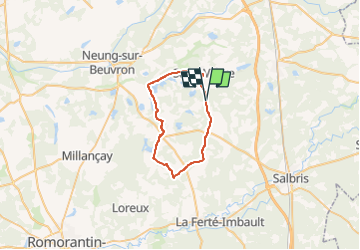
Trail Cycle of 31 km to be discovered at Centre-Loire Valley, Loir-et-Cher, Saint-Viâtre. This trail is proposed by verpoorten.
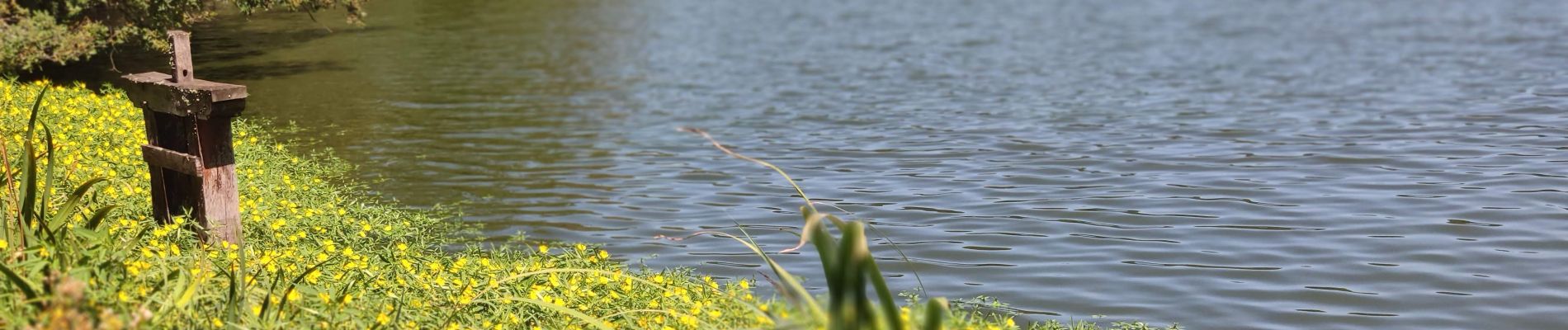
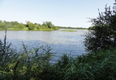
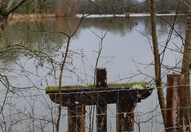
Cette superbe balade vous emmène sur les chemins longeant les plus beaux étangs de Sologne. La faune et la flore sont ici authentiques et vous invitent à vous ressourcer dans cette nature préservée... Enfourchez votre vélo, prenez une grande inspiration et laissez-vous porter par la Sologne ! Cette superbe balade vous emmène sur les chemins longeant les plus beaux étangs de Sologne. La faune et la flore sont ici authentiques et vous invitent à vous ressourcer dans cette nature préservée... Enfourchez votre vélo, prenez une grande inspiration et laissez-vous porter par la Sologne et ses traditionnels étangs.

Cycle
Walking

Walking
Walking
Cycle
Mountain bike
Walking


sport

Other activity