


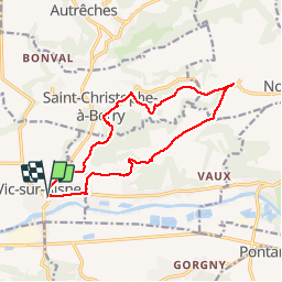

13.3 km | 17 km-effort


User


FREE GPS app for hiking
 SityTrail
IGN / Geographical institutes
SityTrail World
The world is yours!
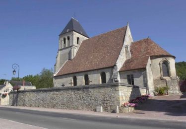
Trail Walking of 13.7 km to be discovered at Hauts-de-France, Aisne, Vic-sur-Aisne. This trail is proposed by bohynm.
Les fusillés de 1914


Walking
On foot

Walking

Walking
Walking

Walking
Walking

Walking

Walking
boucle