


Boucle Sus

Fabichette
User
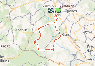

Length
13.1 km

Max alt
257 m

Uphill gradient
258 m
Km-Effort
16.5 km

Min alt
131 m

Downhill gradient
257 m
Boucle
Yes
Creation date :
2022-08-14 14:35:19.0
Updated on :
2022-08-14 17:46:57.17
2h28
Difficulty : Easy

FREE GPS app for hiking
 SityTrail
IGN / Geographical institutes
SityTrail Plus
The world is yours!
About
Trail Walking of 13.1 km to be discovered at New Aquitaine, Pyrénées-Atlantiques, Sus. This trail is proposed by Fabichette.
Description
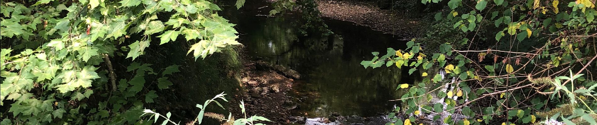
Jolie randonnée dans la campagne forestière du Béarn des gaves. Aucune difficulté
Photos


Positioning
Country:
France
Region :
New Aquitaine
Department/Province :
Pyrénées-Atlantiques
Municipality :
Sus
Location:
Unknown
Start:(Dec)
Start:(UTM)
680923 ; 4797170 (30T) N.
Comments