


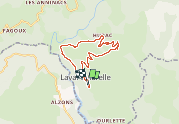

33 km | 46 km-effort

User GUIDE


FREE GPS app for hiking
 SityTrail
IGN / Geographical institutes
SityTrail World
The world is yours!
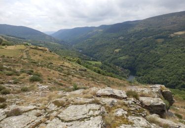
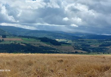
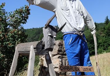
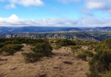
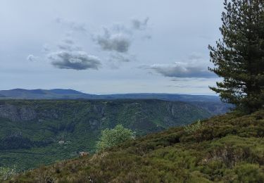
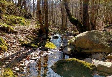
Trail Walking of 7.6 km to be discovered at Auvergne-Rhône-Alpes, Ardèche, Saint-Laurent-les-Bains-Laval-d'Aurelle. This trail is proposed by nadinebondoux.


Walking
Walking
Walking
Walking
Walking
Walking
Walking
Walking
Walking