


Valmorel

91eric91
User
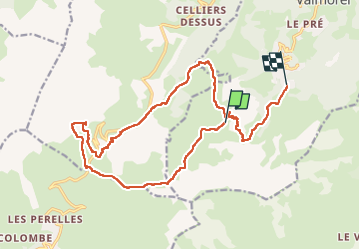

Length
19.2 km

Max alt
2177 m

Uphill gradient
760 m
Km-Effort
31 km

Min alt
1463 m

Downhill gradient
1206 m
Boucle
No
Creation date :
2022-08-16 07:53:33.0
Updated on :
2022-08-16 14:37:39.523
6h43
Difficulty : Very difficult

FREE GPS app for hiking
 SityTrail
IGN / Geographical institutes
SityTrail Plus
The world is yours!
About
Trail Walking of 19.2 km to be discovered at Auvergne-Rhône-Alpes, Savoy, Les Avanchers-Valmorel. This trail is proposed by 91eric91.
Positioning
Country:
France
Region :
Auvergne-Rhône-Alpes
Department/Province :
Savoy
Municipality :
Les Avanchers-Valmorel
Location:
Unknown
Start:(Dec)
Start:(UTM)
298453 ; 5035784 (32T) N.
Comments