Trail Walking Loubaresse - Loubaresse - Photo
© OpenStreetMap contributors
Length
Length
7.7 km
Max alt
Max alt
1220 m
Uphill gradient
Uphill gradient
254 m
Km-Effort
Km-Effort  
11.1 km
Min alt
Min alt
1079 m
Downhill gradient
Downhill gradient
254 m
Boucle
Boucle
Yes
Creation date :
2022-08-19 06:56:58.0
Updated on :
2022-08-19 09:19:59.816

(1 Reviews)

Walking
Walking
2h03
Difficulty : Medium

Scan this QR Code to open this trail in the SityTrail application

FREE GPS app for hiking

Logo SityTrail SityTrail

IGN / Geographical institutes

Download SityTrail from the App Store Download SityTrail from Google Play

Logo SityTrail SityTrail World

The world is yours!

Download SityTrail from the App Store Download SityTrail from Google Play Download SityTrail on Huawei AppGallery

About

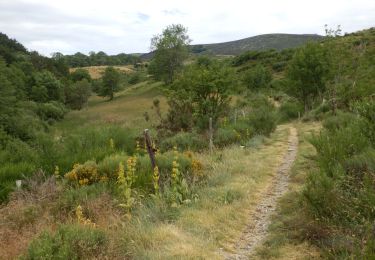
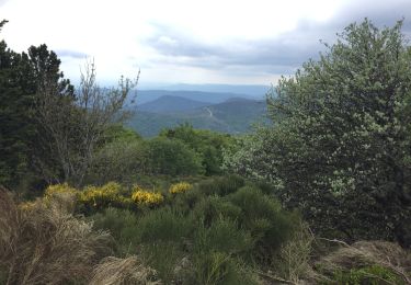
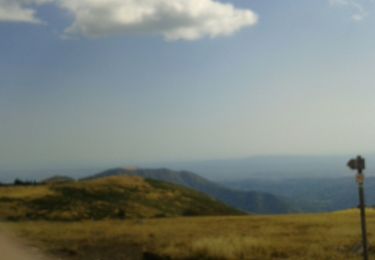
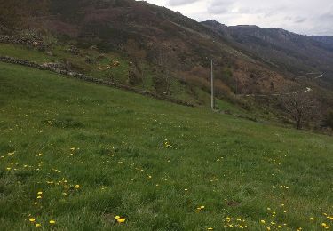
Trail Walking of 7.7 km to be discovered at Auvergne-Rhône-Alpes, Ardèche, Loubaresse. This trail is proposed by BrigitteBertrand.

Description

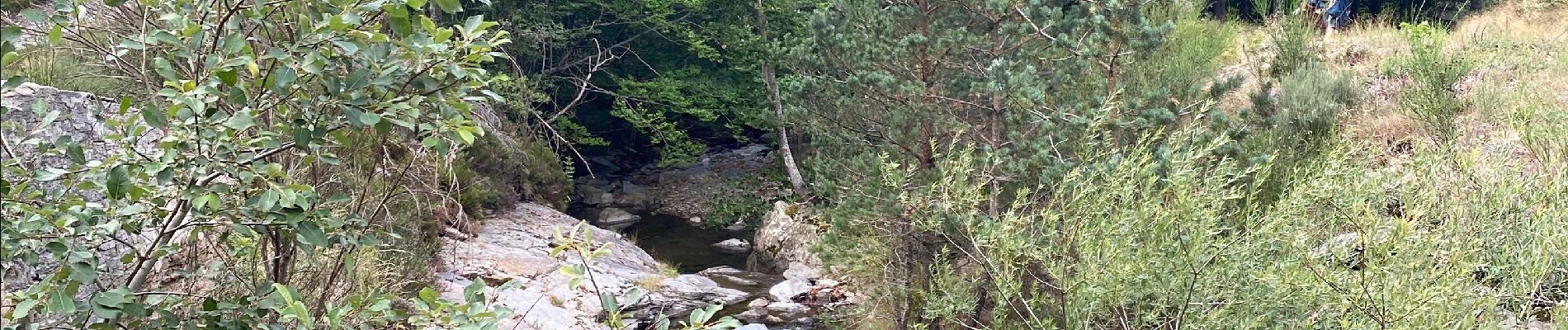
Ardeche, chemin forestier… vers le pont du Bournet

Elevation profile

Photos

Positioning

Country:
France
Region :
Auvergne-Rhône-Alpes
Department/Province :
Ardèche
Municipality :
Loubaresse
Location:
Unknown
Start:(UTM)
583869 ; 4937007 (31T) N.

Comments

Please log in to post a review or rate the element


Trails nearby

Trail Walking Valgorge - Le Tanargue - Photo
Walking
GUIDE
nadinebondoux

Walking

Difficult
Valgorge, Auvergne-Rhône-Alpes, Ardèche, France
13.7 km | 24 km-effort
5h 28min
Yes
Trail Walking Loubaresse - Etape1 Cévenne ardéchoise 17km - Photo
Walking
GUIDE
thonyc

Walking

Difficult
Loubaresse, Auvergne-Rhône-Alpes, Ardèche, France
19.4 km | 31 km-effort
6h 0min
No
Trail On foot Borne - Tour du Tanargue - Photo
On foot
PRO

On foot

Very difficult
Borne, Auvergne-Rhône-Alpes, Ardèche, France
31 km | 43 km-effort
9h 48min
No
Trail Walking Sablières - Sablières (07) - Le Chambon - Le Serre de l'Estelle et la Drobie - Photo
Walking
Drailloun

Walking

Difficult
Sablières, Auvergne-Rhône-Alpes, Ardèche, France
12.8 km | 22 km-effort
4h 33min
Yes
Trail Mountain bike Valgorge - col de meyrand -le roubreau par les crêtes - Photo
Mountain bike
mouss65

Mountain bike

Medium
Valgorge, Auvergne-Rhône-Alpes, Ardèche, France
33 km | 42 km-effort
4h 6min
No
Trail Walking Borne - Du col de Meyrand au sommet du Tanatgue - Photo
Walking
ilur56

Walking

Medium
Borne, Auvergne-Rhône-Alpes, Ardèche, France
17.8 km | 24 km-effort
4h 35min
Yes
Trail Walking Valgorge - Meyrand to mélange - Photo
Walking
yago1404

Walking

Very easy
Valgorge, Auvergne-Rhône-Alpes, Ardèche, France
17.7 km | 23 km-effort
6h 2min
Yes
Trail Walking Loubaresse - Loubaresse  Rocle - Photo
Walking
delolmealain

Walking

Very difficult
Loubaresse, Auvergne-Rhône-Alpes, Ardèche, France
26 km | 37 km-effort
7h 4min
No
Trail Walking Valgorge - LA VALLEE DE LA BEAUME  A LOUBARESSE  - Photo
Walking
JEANPIERRE2

Walking

Medium
Valgorge, Auvergne-Rhône-Alpes, Ardèche, France
15.3 km | 25 km-effort
4h 32min
Yes


Close
My subscriptions