Trail Walking Morienval - GP_MORIENVAL_Modif - Photo

GP_MORIENVAL_Modif

© OpenStreetMap contributors
Length
Length
20 km
Max alt
Max alt
139 m
Uphill gradient
Uphill gradient
346 m
Km-Effort
Km-Effort  
25 km
Min alt
Min alt
57 m
Downhill gradient
Downhill gradient
348 m
Boucle
Boucle
Yes
Creation date :
2022-08-24 08:50:16.404
Updated on :
2022-08-24 08:59:12.51

(0 Reviews)

Walking
Walking
5h24
Difficulty : Very difficult

Scan this QR Code to open this trail in the SityTrail application

FREE GPS app for hiking

Logo SityTrail SityTrail

IGN / Geographical institutes

Download SityTrail from the App Store Download SityTrail from Google Play

Logo SityTrail SityTrail World

The world is yours!

Download SityTrail from the App Store Download SityTrail from Google Play Download SityTrail on Huawei AppGallery

About

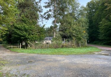
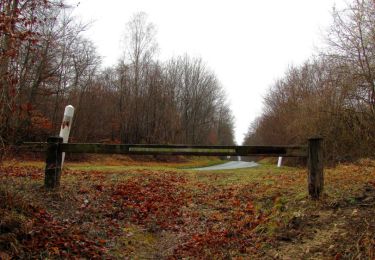
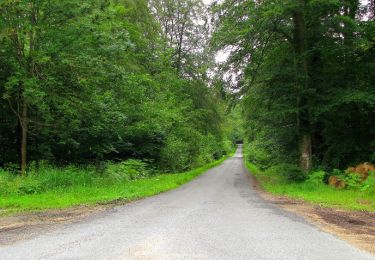
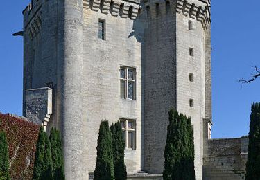
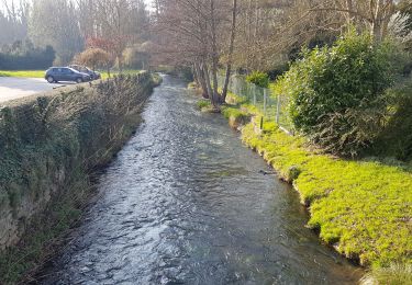
Trail Walking of 20 km to be discovered at Hauts-de-France, Oise, Morienval. This trail is proposed by Claude de Goële Rando.

Description

Grand parcours de Morienval modifié

Elevation profile

Positioning

Country:
France
Region :
Hauts-de-France
Department/Province :
Oise
Municipality :
Morienval
Location:
Unknown
Start:(UTM)
494320 ; 5460582 (31U) N.

Trails nearby

Trail Walking Orrouy - en Forêt de Compiègne_41_autour des Petits Monts - Photo
Walking

Walking

Very difficult
Orrouy, Hauts-de-France, Oise, France
9.7 km | 11.5 km-effort
3h 14min
Yes
Trail Walking Morienval - en forêt de Compiègne_37_les Tournantes des Petits Monts (sur et sous) - Photo
Walking

Walking

Very difficult
Morienval, Hauts-de-France, Oise, France
14 km | 16.6 km-effort
4h 6min
Yes
Trail Hybrid bike Orrouy - Balade vélo entre pierrefond et compiegne  - Photo
Hybrid bike
choubaka77

Hybrid bike

Easy
Orrouy, Hauts-de-France, Oise, France
53 km | 61 km-effort
3h 38min
Yes
Trail Walking Saint-Jean-aux-Bois - en forêt de Compiègne_36_Tournantes sur les Grands Monts et les Grueries - Photo
Walking

Walking

Very difficult
Saint-Jean-aux-Bois, Hauts-de-France, Oise, France
24 km | 29 km-effort
7h 17min
Yes
Trail Walking Feigneux - Vez en Automne - Feigneux - Photo
Walking
tracegps

Walking

Difficult
Feigneux, Hauts-de-France, Oise, France
26 km | 32 km-effort
5h 30min
Yes
Trail Mountain bike Fresnoy-la-Rivière - Clochers en Vallée de l'Automne (version courte) - Fresnoy-la-Rivière - Photo
Mountain bike
tracegps

Mountain bike

Easy
Fresnoy-la-Rivière, Hauts-de-France, Oise, France
9 km | 11.7 km-effort
1h 0min
Yes
Trail Walking Fresnoy-la-Rivière - Clochers en Vallée de l'Automne (version courte) - Fresnoy-la-Rivière - Photo
Walking
tracegps

Walking

Medium
(1)
Fresnoy-la-Rivière, Hauts-de-France, Oise, France
9 km | 11.7 km-effort
2h 15min
Yes
Trail On foot Orrouy - Promenade des Chars Romains et Chars de Combat - Photo
On foot
PRO

On foot

Easy
Orrouy, Hauts-de-France, Oise, France
6 km | 6.9 km-effort
1h 34min
No
Trail Walking Fresnoy-la-Rivière - Fresnoy-la-Rivière - Photo
Walking
bianchireg

Walking

Medium
Fresnoy-la-Rivière, Hauts-de-France, Oise, France
10.4 km | 12.1 km-effort
2h 16min
Yes


Close
My subscriptions