


vallouise la bosse de Clapouse

bernir
User
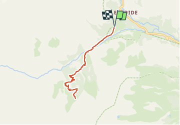

Length
7.5 km

Max alt
2164 m

Uphill gradient
646 m
Km-Effort
16.1 km

Min alt
1513 m

Downhill gradient
646 m
Boucle
Yes
Creation date :
2022-08-28 10:41:56.684
Updated on :
2022-08-28 10:43:28.271
3h40
Difficulty : Difficult

FREE GPS app for hiking
 SityTrail
IGN / Geographical institutes
SityTrail Plus
The world is yours!
About
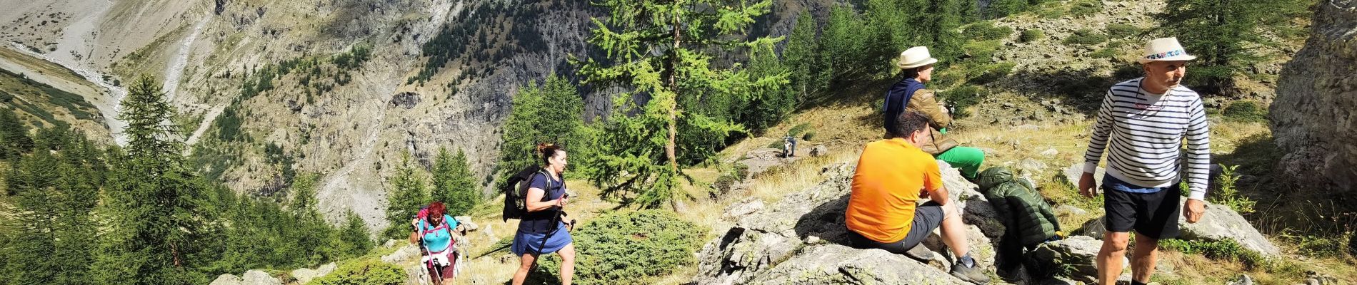
Trail Walking of 7.5 km to be discovered at Provence-Alpes-Côte d'Azur, Hautes-Alpes, Vallouise-Pelvoux. This trail is proposed by bernir.
Photos

Positioning
Country:
France
Region :
Provence-Alpes-Côte d'Azur
Department/Province :
Hautes-Alpes
Municipality :
Vallouise-Pelvoux
Location:
Pelvoux
Start:(Dec)
Start:(UTM)
298107 ; 4973232 (32T) N.
Comments