


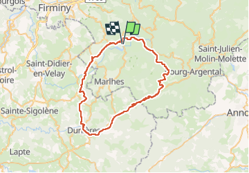

19.8 km | 0 m-effort

User


FREE GPS app for hiking
 SityTrail
IGN / Geographical institutes
SityTrail World
The world is yours!
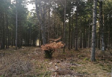
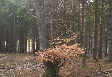
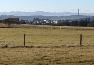
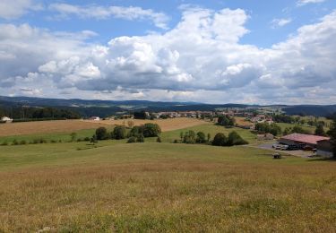
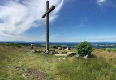
Trail Road bike of 59 km to be discovered at Auvergne-Rhône-Alpes, Loire, Saint-Genest-Malifaux. This trail is proposed by himba26100.
chari


Walking
Walking
Walking
Walking
Walking
Walking
Walking
Walking

Walking