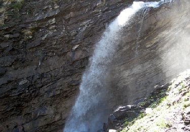
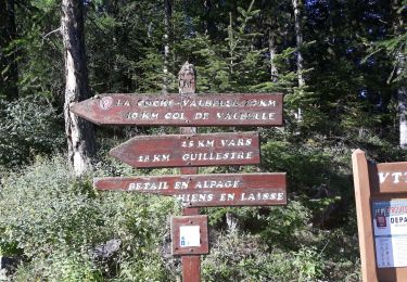
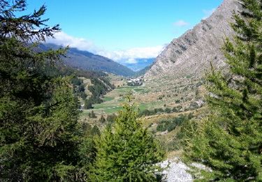
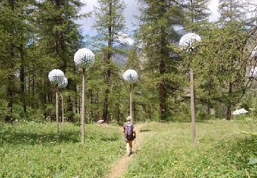
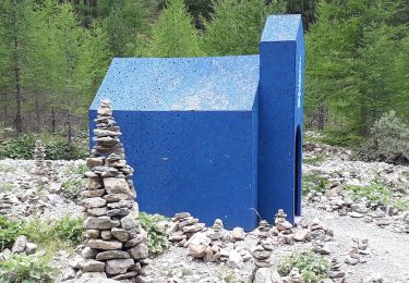
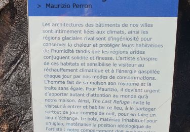
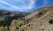
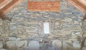
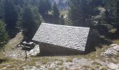
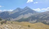
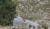
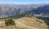
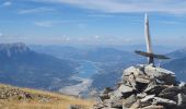
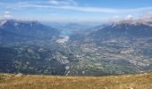
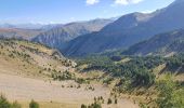
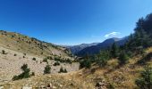
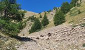
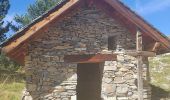
Trail Walking Saint-André-d'Embrun - Chapelle de Pra-Leydon - Les Croix à partir du vallon de Pra-Mouton - Photo

Chapelle de Pra-Leydon - Les Croix à partir du vallon de Pra-Mouton

 gildascb
gildascb

User

© OpenStreetMap contributors
Length
Length
6.8 km
Max alt
Max alt
2554 m
Uphill gradient
Uphill gradient
639 m
Km-Effort
Km-Effort  
15.3 km
Min alt
Min alt
1908 m
Downhill gradient
Downhill gradient
639 m
Boucle
Boucle
Yes
Creation date :
2022-08-29 07:36:06.515
Updated on :
2022-09-01 07:15:17.375

(0 Reviews)

Walking
Walking
3h45
Difficulty : Very difficult

Scan this QR Code to open this trail in the SityTrail application

FREE GPS app for hiking

Logo SityTrail SityTrail

IGN / Geographical institutes

Download SityTrail from the App Store Download SityTrail from Google Play

Logo SityTrail SityTrail World
The world is yours!

Download SityTrail from the App Store Download SityTrail from Google Play Download SityTrail on Huawei AppGallery

About

Trail Walking of 6.8 km to be discovered at Provence-Alpes-Côte d'Azur, Hautes-Alpes, Saint-André-d'Embrun. This trail is proposed by gildascb.

Description

Accès en voiture un peu compliqué à trouver. Ne pas se fier à Google Maps qui essaye de vous faire passer par tous les sentiers impraticables en voiture...

A l’entrée du village de Saint-André-d’Embrun, prendre à droite.
Suivre la direction de la forêt de Saluces jusqu’au col de la Coche (1791m) - c'est une route (même si parfois en mauvais état) jusqu'à ce point. Ensuite, prendre la piste forestière de Valbelle (Embrun/Vars) sur environ 2 km, passer la cabane de Pra-Mouton et quelques centaines de mètres après, se garer dans le virage, cote 1905m (vallon de Pra-Mouton).

La meilleure facon de réaliser cette randonnée est de commencer par la montée qui passe par la Chapelle de Pra-Leydon et de redescendre par l'autre versant (sens inverse de ce que nous avons fait).

Sur le site du syndicat d'initiatives de Serre-Poncon, il y a une alternative à cette randonnée (randonnée 48), passant au retour par le Col de Brunel est indiqué (un peu plus long mais le chemin pour descendre est plus agréable). Voir plan dans les photos de la randonnée.

Elevation profile

Photos

25 photos in total. Please click on a photo to see them all in the gallery.

Positioning

Country:
France
Region :
Provence-Alpes-Côte d'Azur
Department/Province :
Hautes-Alpes
Municipality :
Saint-André-d'Embrun
Location:
Unknown
Start:(UTM)
309253 ; 4939532 (32T) N.

Trails nearby

Trail Walking Crévoux - La Cascade de Razis - Photo
Walking
tracegps

Walking

Medium
(5)
Crévoux, Provence-Alpes-Côte d'Azur, Hautes-Alpes, France
7.2 km | 11 km-effort
3h 30min
Yes
Trail Other activity Crévoux - Ski. Sommet de Meale par Praveyral - Photo
Other activity
CYCLOHC

Other activity

Very easy
(6)
Crévoux, Provence-Alpes-Côte d'Azur, Hautes-Alpes, France
7.4 km | 16.7 km-effort
3h 20min
No
Trail Walking Saint-André-d'Embrun - mont Aurel - Photo
Walking
gibello

Walking

Medium
(1)
Saint-André-d'Embrun, Provence-Alpes-Côte d'Azur, Hautes-Alpes, France
8.2 km | 18.4 km-effort
4h 30min
Yes
Trail Walking Crévoux - boucle lac du crachet - Photo
Walking
gildascb

Walking

Difficult
(1)
Crévoux, Provence-Alpes-Côte d'Azur, Hautes-Alpes, France
10.3 km | 21 km-effort
4h 50min
Yes
Trail Walking Crévoux - PARCOURS DES FEES #7 - Photo
Walking
CAMBON

Walking

Medium
(1)
Crévoux, Provence-Alpes-Côte d'Azur, Hautes-Alpes, France
8.3 km | 11.6 km-effort
2h 35min
Yes
Trail Walking Crévoux - Sentier des Fées Crevoux 16/08/18 - Photo
Walking
GUIDE
R@ph

Walking

Easy
Crévoux, Provence-Alpes-Côte d'Azur, Hautes-Alpes, France
6.1 km | 9 km-effort
1h 52min
Yes
Trail Walking Crévoux - Le lac du Crachet - Photo
Walking
Dormeau

Walking

Very easy
(2)
Crévoux, Provence-Alpes-Côte d'Azur, Hautes-Alpes, France
3.6 km | 9.7 km-effort
2h 15min
No
Trail Touring skiing Crévoux - Arête de la Ratelle - Photo
Touring skiing
GUIDE
David25400

Touring skiing

Easy
Crévoux, Provence-Alpes-Côte d'Azur, Hautes-Alpes, France
9.8 km | 22 km-effort
3h 7min
Yes
Trail Walking Crévoux - Parcours des Fées- Cascade du Razzi (Crévoux - La Chalp) - Photo
Walking
gildascb

Walking

Very easy
Crévoux, Provence-Alpes-Côte d'Azur, Hautes-Alpes, France
7.3 km | 11.9 km-effort
2h 39min
Yes


Close
My subscriptions