


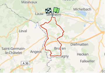
Sentheim Bellemagny Sentheim

helmut68
User


5h37
Difficulty : Medium

FREE GPS app for hiking
 SityTrail
IGN / Geographical institutes
SityTrail Plus
The world is yours!
About
Trail Walking of 23 km to be discovered at Grand Est, Haut-Rhin, Sentheim. This trail is proposed by helmut68.
Description
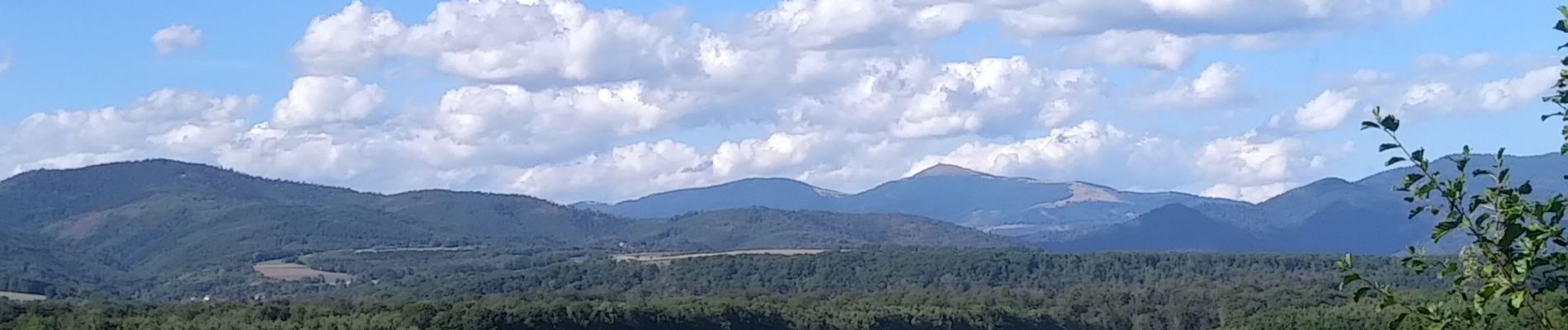
Belle boucle essentiellement par des sentiers ou des chemins forestiers avec un peu de bitume.
Très belles vues du Jura Suisse et de nos deux
Ballons sans oublier le Rossberg avec son chalet du ski club de Thann...
Parcours praticable toute l'année avec de bonnes chaussures, n'oubliez pas l'eau , k-way...etc .
Pour le balisage : voir photos fournies
Alors à vos chaussures !
Photos


Positioning
Comments