


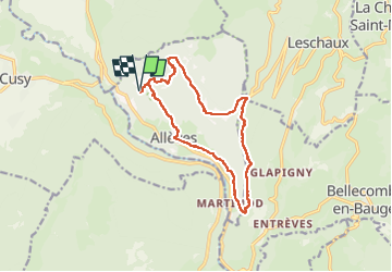

18.2 km | 35 km-effort

User GUIDE


FREE GPS app for hiking
 SityTrail
IGN / Geographical institutes
SityTrail World
The world is yours!
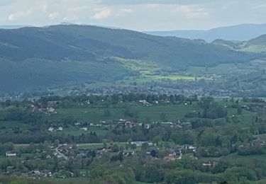
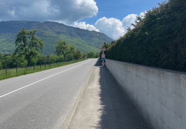
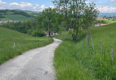
Trail Walking of 13.5 km to be discovered at Auvergne-Rhône-Alpes, Upper Savoy, Allèves. This trail is proposed by Kargil.
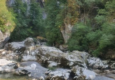
Belle randonnée sportive sans difficulté technique.
Seulement un suivi du sentier délicat au départ de la crête au-dessus des grottes de Bange, mais merci Sity pour l'aide au suivi.
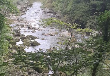
Le passage en crête permet une belle vue sur les tours Saint Jacques.


Walking
Walking

Walking
Walking
Walking
Walking
Walking
Walking
Walking
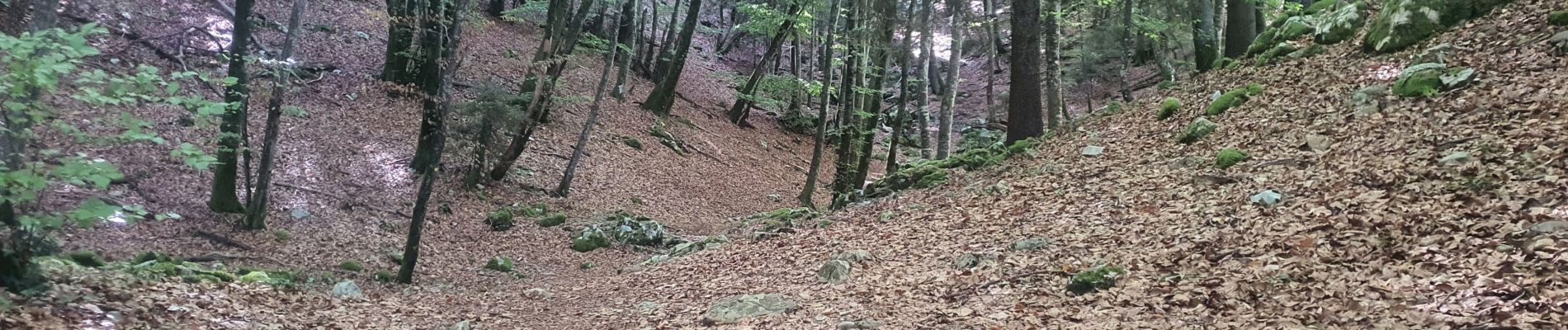
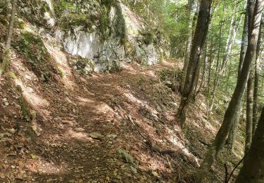
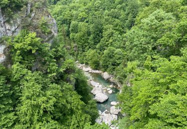
rando superbe, difficile sur la crête, bien suivre la trace gps Très belles vues