


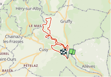

10.5 km | 18.5 km-effort


User GUIDE


FREE GPS app for hiking
 SityTrail
IGN / Geographical institutes
SityTrail World
The world is yours!
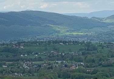
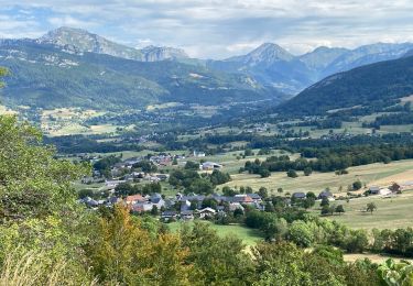
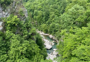
Trail Walking of 17.1 km to be discovered at Auvergne-Rhône-Alpes, Upper Savoy, Cusy. This trail is proposed by Kargil.
Randonnée agréable
Proche de Cusy avec ces nombreux commerces
Boulangerie Patisserie ouverte 7j/7


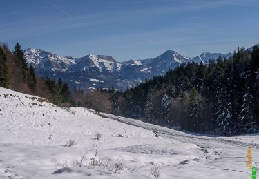
Walking
Walking
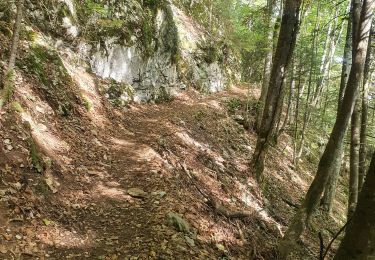
Walking

Walking
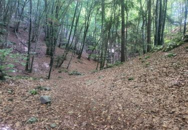
Walking
Walking
Walking
Walking
Walking