


la pointe des fours

HAL26
User
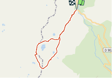

Length
7.9 km

Max alt
3047 m

Uphill gradient
591 m
Km-Effort
15.7 km

Min alt
2535 m

Downhill gradient
589 m
Boucle
Yes
Creation date :
2022-09-08 07:18:58.548
Updated on :
2022-09-08 19:00:13.684
6h53
Difficulty : Very easy

FREE GPS app for hiking
 SityTrail
IGN / Geographical institutes
SityTrail Plus
The world is yours!
About
Trail Walking of 7.9 km to be discovered at Auvergne-Rhône-Alpes, Savoy, Bonneval-sur-Arc. This trail is proposed by HAL26.
Positioning
Country:
France
Region :
Auvergne-Rhône-Alpes
Department/Province :
Savoy
Municipality :
Bonneval-sur-Arc
Location:
Unknown
Start:(Dec)
Start:(UTM)
345656 ; 5030021 (32T) N.
Comments