


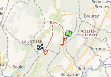

12.3 km | 17.8 km-effort


User GUIDE


FREE GPS app for hiking
 SityTrail
IGN / Geographical institutes
SityTrail World
The world is yours!
Trail Walking of 8.9 km to be discovered at Bourgogne-Franche-Comté, Haute-Saône, Boult. This trail is proposed by David25400.
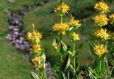
un seul jeune cèpe, été ?
Walking
Walking
Walking
Other activity

Walking
Walking
Walking

Walking
Walking