


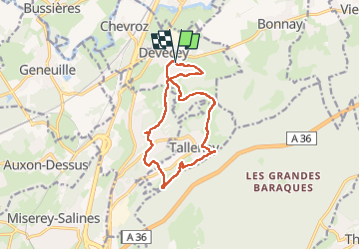

9.1 km | 12.4 km-effort

User


FREE GPS app for hiking
 SityTrail
IGN / Geographical institutes
SityTrail World
The world is yours!
Trail Walking of 12.3 km to be discovered at Bourgogne-Franche-Comté, Doubs, Devecey. This trail is proposed by eltonnermou.
parking de la mairie (proche église)
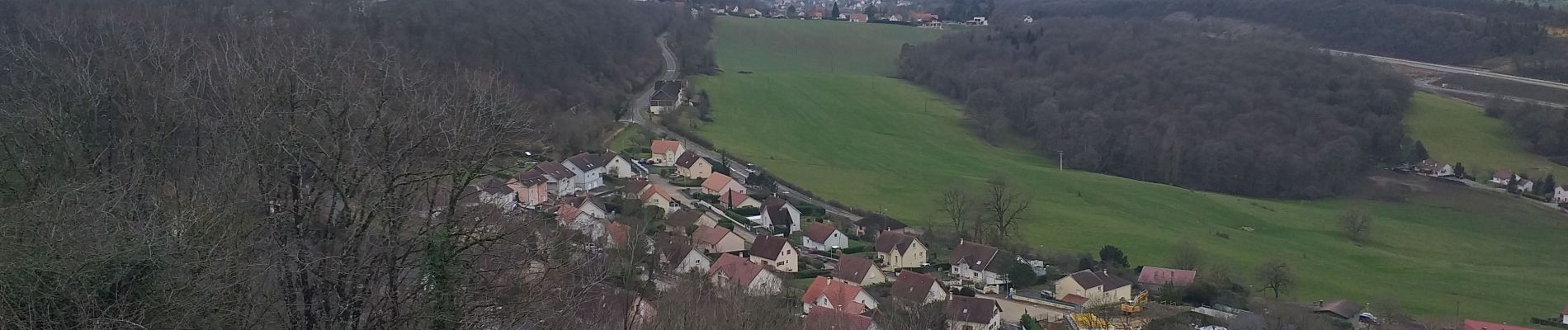
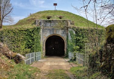
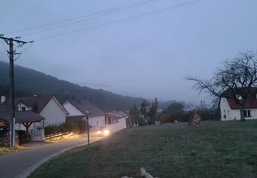
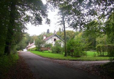
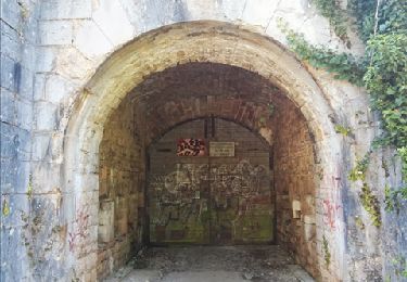
Randonnée à travers bois et prairies, qui vous emmène de la plaine aux pentes du fort de la dame blanche puis à la plaine.
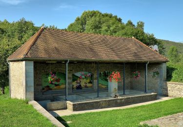
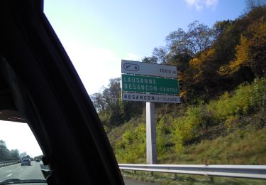
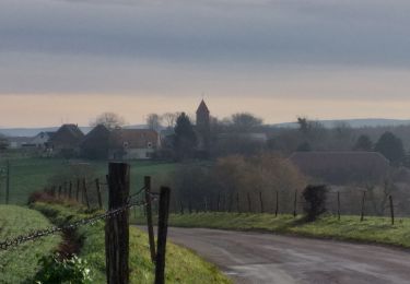
De belles maisons à observer lors de la traversée des villages ; Tallenay avec les belles bornes royales, Chatillon le duc son point de vue (derrière église) et son château.


On foot
On foot
Walking
On foot
On foot
On foot
On foot
Walking
Walking