


castelnau-cénacfait

LouisROGER
User GUIDE
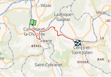

Length
8.6 km

Max alt
189 m

Uphill gradient
132 m
Km-Effort
10.7 km

Min alt
66 m

Downhill gradient
241 m
Boucle
No
Creation date :
2022-09-13 10:22:49.157
Updated on :
2022-09-14 10:31:24.235
4h05
Difficulty : Medium

FREE GPS app for hiking
 SityTrail
IGN / Geographical institutes
SityTrail Plus
The world is yours!
About
Trail Walking of 8.6 km to be discovered at New Aquitaine, Dordogne, Castelnaud-la-Chapelle. This trail is proposed by LouisROGER.
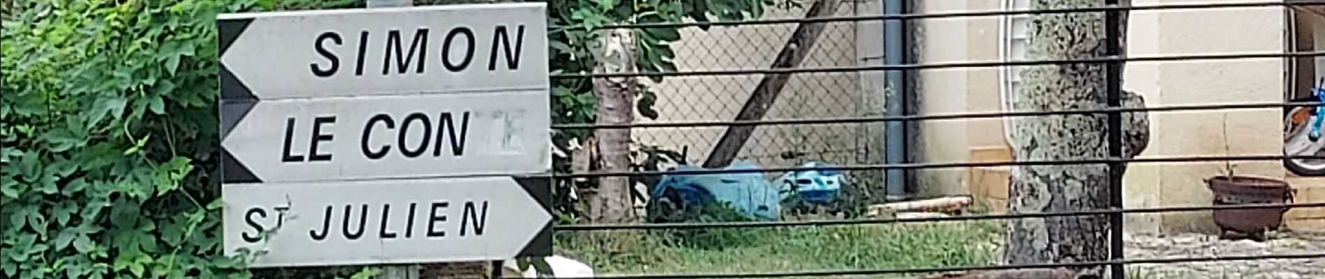
Photos

Positioning
Country:
France
Region :
New Aquitaine
Department/Province :
Dordogne
Municipality :
Castelnaud-la-Chapelle
Location:
Unknown
Start:(Dec)
Start:(UTM)
353301 ; 4964132 (31T) N.
Comments