


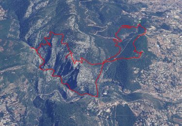
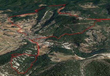
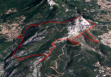
11.8 km | 19.3 km-effort

User


FREE GPS app for hiking
 SityTrail
IGN / Geographical institutes
SityTrail World
The world is yours!
Trail Walking of 5.3 km to be discovered at Provence-Alpes-Côte d'Azur, Var, Ollioules. This trail is proposed by cousam.
Au départ du club canin.
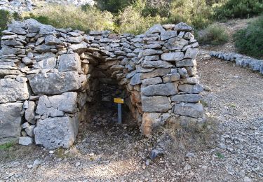
Petit détour par la grotte Christianisée, prendre une sente à droite (cairn avant la grotte ci dessus) 3 points jaune sur rocher.
Grotte St Martin 1 et 2, suivre les points rouge .
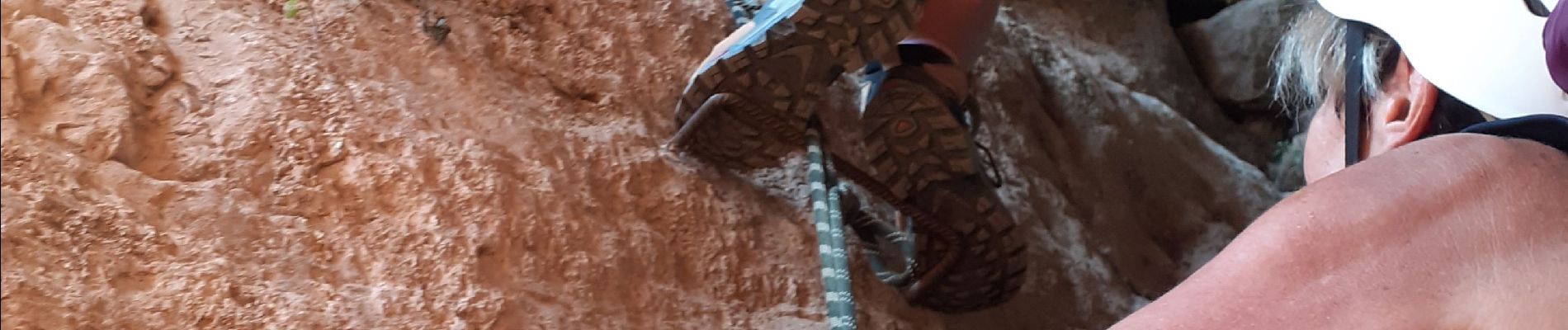
Petit passage avec une corde (5m) délicat.
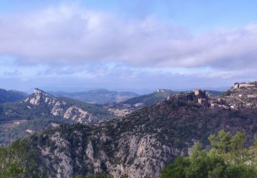
Passage d'un pierrier, pour arrivé à la grotte du haut St Martin , une longe fente verticale ,équipée de barreaux et cordes ,pour la remontée de la cheminée ,boyau intérieur ,sol glissant (frontale) puis une 2eme petite grotte ,suivre la sente à gauche pour arriver au pied du chateau d'Evenos.
Retour par le sentier balisé jaune.
Rando assez Hard


24 photos in total. Please click on a photo to see them all in the gallery.
Walking
Walking

Walking
Walking

Walking
Walking
Walking

Walking

Walking