Trail Walking Bargème - Reco Bargème-Châteauvieux - Photo

Reco Bargème-Châteauvieux

 Sugg
Sugg

User

© OpenStreetMap contributors
Length
Length
19.3 km
Max alt
Max alt
1183 m
Uphill gradient
Uphill gradient
577 m
Km-Effort
Km-Effort  
27 km
Min alt
Min alt
916 m
Downhill gradient
Downhill gradient
587 m
Boucle
Boucle
Yes
Creation date :
2019-03-22 17:00:03.569
Updated on :
2019-03-22 17:00:03.882

(2 Reviews)

Walking
Walking
5h49
Difficulty : Medium

Scan this QR Code to open this trail in the SityTrail application

FREE GPS app for hiking

Logo SityTrail SityTrail
IGN / Geographical institutes

Download SityTrail from the App Store Download SityTrail from Google Play

Logo SityTrail SityTrail World
The world is yours!

Download SityTrail from the App Store Download SityTrail from Google Play Download SityTrail on Huawei AppGallery

About

Trail Walking of 19.3 km to be discovered at Provence-Alpes-Côte d'Azur, Var, Bargème. This trail is proposed by Sugg.

Description

Reco future rando RF
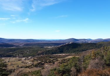
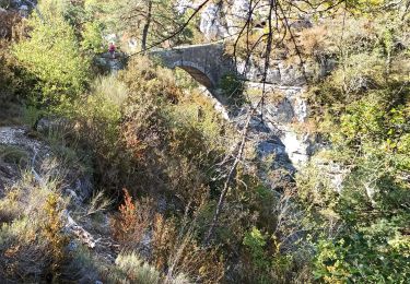
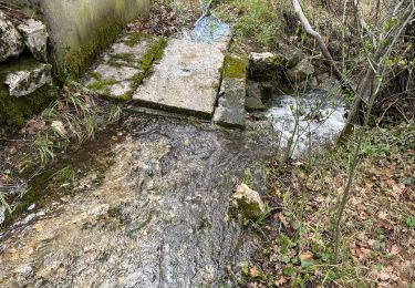
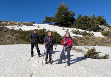
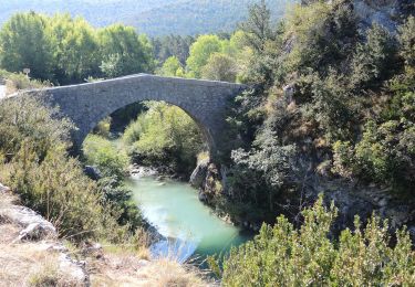
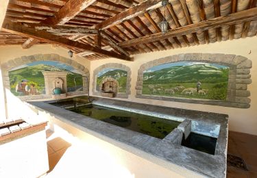
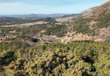
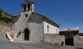
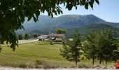
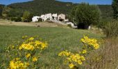
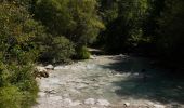
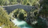
Avec Pierre,le gué cote 915 ( Les Gabres )  avec pas mal d'eau, à vérifier pour le jour J, le plan d'Anelle, les Davids et Château Rima ( prendre la route des Davids, car propriété privée ) visite Châteauvieux et petite bière au restaurant La Gruppi, puis Vallon Font Freye, Pont Madame, " Romain du 17ème LOL " et
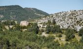
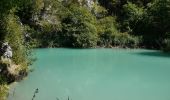
le gué et le début des gorges de l'Artuby( praticable sur   1 km d'après un pécheur ) retour par la piste pricipale qui passe sous la grotte de l'aigle, on ne prend pas la piste de Pra Guillen qui rejoint le GR49.
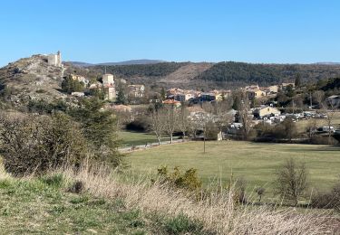
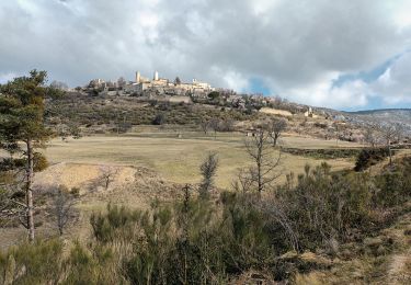
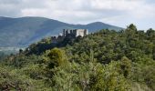
Visite de Bargème, toujours aussi beau village avec entre autres les ruines du Château.
La durée comprend comme d'hab les arrêts et recherche.
Super balade a venir pour nos randonneurs de Restons en Forme de Draguignan.  

Elevation profile

Photos

Positioning

Country:
France
Region :
Provence-Alpes-Côte d'Azur
Department/Province :
Var
Municipality :
Bargème
Location:
Unknown
Start:(Dec)
Start:(UTM)
304353 ; 4844764 (32T) N.

Comments

Please log in to post a review or rate the element


superbe randonnée.avec château vieux plan d Anaëlle et un temps d hiver très beau


Trails nearby

Trail Walking Bargème - Montagne de Brouis. Bargeme - Photo
Walking
GrouGary

Walking

Easy
(1)
Bargème, Provence-Alpes-Côte d'Azur, Var, France
11.7 km | 19.4 km-effort
3h 36min
Yes
Trail Walking Bargème - bargeme pierre - Photo
Walking
roqa

Walking

Very easy
(1)
Bargème, Provence-Alpes-Côte d'Azur, Var, France
7.9 km | 11.7 km-effort
2h 40min
Yes
Trail Walking La Bastide - Le Lachens 2024 - Photo
Walking
ETMU5496

Walking

Difficult
La Bastide, Provence-Alpes-Côte d'Azur, Var, France
18.8 km | 35 km-effort
7h 56min
Yes
Trail Walking La Bastide - Lachens le tour trace réelle - Photo
Walking
jouans

Walking

Very difficult
La Bastide, Provence-Alpes-Côte d'Azur, Var, France
18.7 km | 35 km-effort
7h 55min
Yes
Trail Walking Bargème - Bargème - Rive de l'Artuby - Pont Madame - La Bastide - Photo
Walking
LtZIP

Walking

Difficult
Bargème, Provence-Alpes-Côte d'Azur, Var, France
21 km | 31 km-effort
7h 2min
Yes
Trail Walking Bargème - Bargème ; Tour du Brouis - Photo
Walking
ETMU5496

Walking

Medium
Bargème, Provence-Alpes-Côte d'Azur, Var, France
22 km | 32 km-effort
7h 13min
Yes
Trail Walking Comps-sur-Artuby - Comps - Bargème - Jabron - Photo
Walking
ETMU5496

Walking

Difficult
Comps-sur-Artuby, Provence-Alpes-Côte d'Azur, Var, France
24 km | 36 km-effort
6h 2min
No
Trail Walking La Bastide - Le Lachens-la Bastide-20-03-23 - Photo
Walking
Christiancordin

Walking

Difficult
La Bastide, Provence-Alpes-Côte d'Azur, Var, France
19 km | 33 km-effort
5h 15min
Yes
Trail Walking Bargème - montagne de Brouis-Bargème-19-03-23 - Photo
Walking
Christiancordin

Walking

Medium
Bargème, Provence-Alpes-Côte d'Azur, Var, France
14.3 km | 23 km-effort
4h 24min
Yes


Close
My subscriptions