


Echiré: balade des 3 châteaux

jlrayon
User

Length
6.5 km

Max alt
53 m

Uphill gradient
59 m
Km-Effort
7.2 km

Min alt
27 m

Downhill gradient
60 m
Boucle
Yes
Creation date :
2022-09-25 09:37:01.951
Updated on :
2022-09-26 08:27:43.858
2h41
Difficulty : Medium

FREE GPS app for hiking
 SityTrail
IGN / Geographical institutes
SityTrail Plus
The world is yours!
About
Trail Walking of 6.5 km to be discovered at New Aquitaine, Deux-Sèvres, Échiré. This trail is proposed by jlrayon.
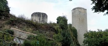
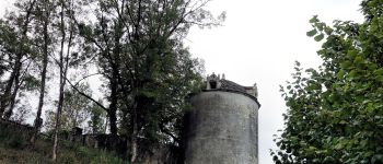
Description
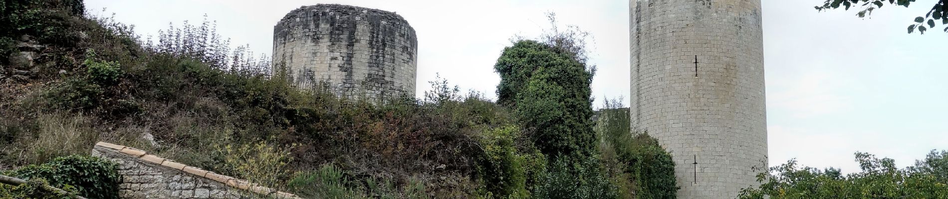
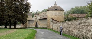
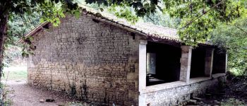
Sur les traces de la fée Mélusine, jolie promenade le long de la Sèvre autour d'Echiré et des châteaux de La Taillée, Coudray-Salbart et Chateau Gaillard.
Photos


Positioning
Country:
France
Region :
New Aquitaine
Department/Province :
Deux-Sèvres
Municipality :
Échiré
Location:
Unknown
Start:(Dec)
Start:(UTM)
698523 ; 5140894 (30T) N.
Comments