


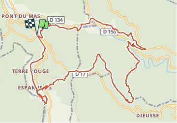


15.3 km | 23 km-effort

User GUIDE


FREE GPS app for hiking
 SityTrail
IGN / Geographical institutes
SityTrail World
The world is yours!
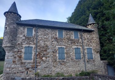
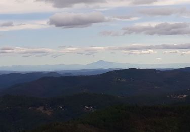
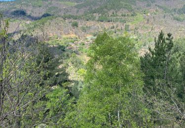
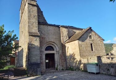
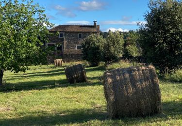
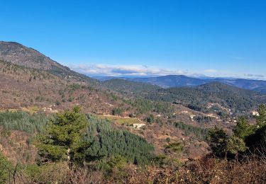
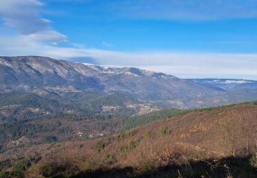
Trail Walking of 16 km to be discovered at Occitania, Gard, Génolhac. This trail is proposed by nadinebondoux.
parking croisement D906 D17


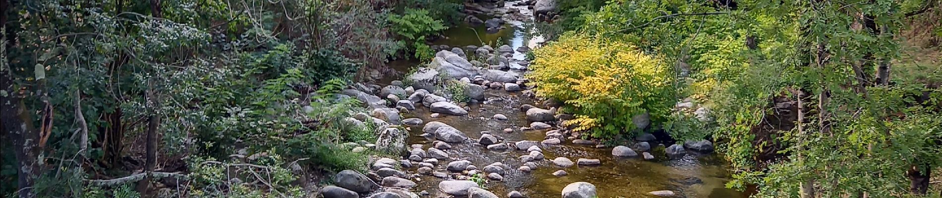
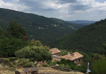
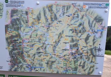
25 photos in total. Please click on a photo to see them all in the gallery.
Walking
Walking
Walking
Walking
Walking
Walking
Walking
Walking