


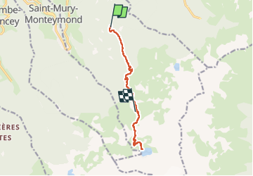

12.4 km | 21 km-effort


User


FREE GPS app for hiking
 SityTrail
IGN / Geographical institutes
SityTrail World
The world is yours!
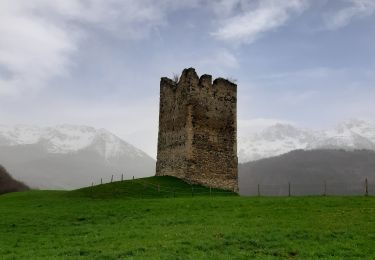
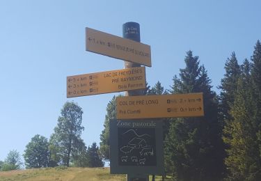
Trail Walking of 10.5 km to be discovered at Auvergne-Rhône-Alpes, Isère, Sainte-Agnès. This trail is proposed by GOHIER.
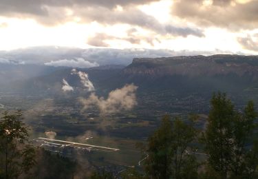
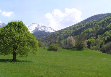
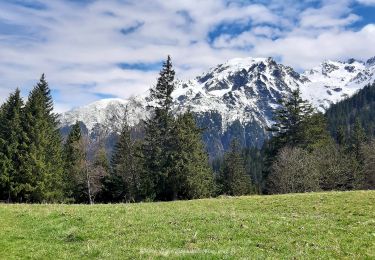
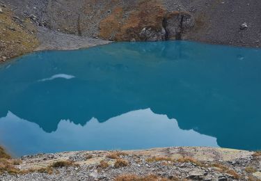
Magnifique vue sur le Grand Pic et nuit au refuge 🤗

Walking
On foot
On foot
Walking
Walking
Walking
Walking
Walking
Walking