


12.4 km | 21 km-effort

User


FREE GPS app for hiking
 SityTrail
IGN / Geographical institutes
SityTrail World
The world is yours!
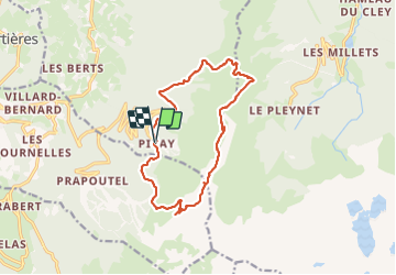
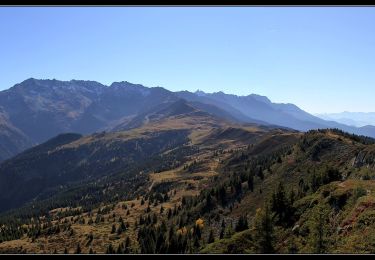
Trail Walking of 14.2 km to be discovered at Auvergne-Rhône-Alpes, Isère, Theys. This trail is proposed by Zasa .
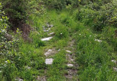
Randonnée plutôt facile, avec une bonne grimpette au bout de 2 kms.
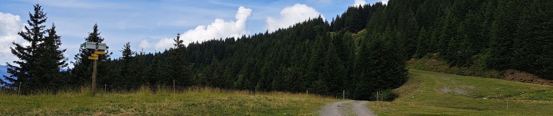
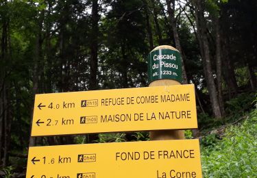
Le départ se fait au bout du parking de Pipay. il faut suivre le chemin jusqu'aux chalets du Merdaret ensuite suivre le col du Merdaret, Vaugelas, Crêts du Granier, les Fontanelles. Prendre Roche Noire et descente direction Lac de Jasse par les pistes , on contourne la retenue d'eau et retour Pipay sur la droite avant le lac de Jasse par piste et chemin forestier.


Walking
Walking

Mountain bike
Walking
Walking

Other activity
Walking
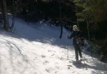
Snowshoes
Walking