


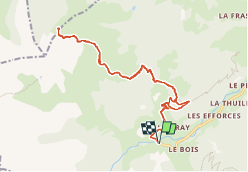

8.2 km | 17.9 km-effort

User


FREE GPS app for hiking
 SityTrail
IGN / Geographical institutes
SityTrail World
The world is yours!
Trail Walking of 12.2 km to be discovered at Auvergne-Rhône-Alpes, Savoy, Beaufort. This trail is proposed by GuyVachet.
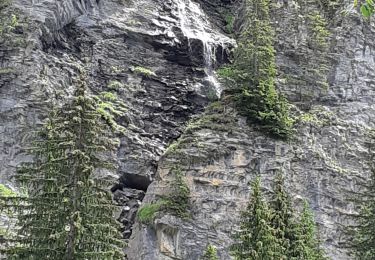
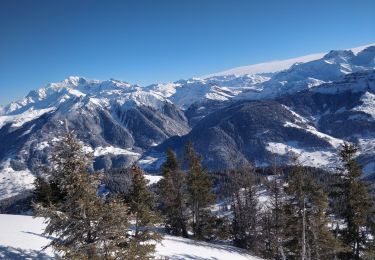
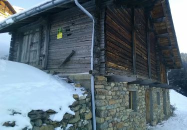
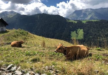
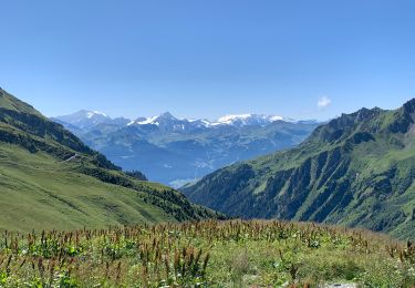
Aller/Retour au col accompagné par la vue sur le Mont-Blanc. Après 500m de route, la montée dans le pré dans le haut du hameau n'est pas la plus bucolique mais elle est bien efficace et permet de profiter des beaux chalets du Beaufortain. De façon générale, la montée est assez soutenue et à partir de La Tourne, le Mont-Blanc et la Pierra Menta complètent le Grand Mont et la Grande Journée, vus depuis le départ. Après le passage de l'arête au-dessus de la Clusonnière, une descente de moins de 100m nous attend suivie par la montée finale au Col. Retour par le même itinéraire.


Walking
Touring skiing
Walking
Walking
Touring skiing
Snowshoes
Walking
Walking
Mountain bike