


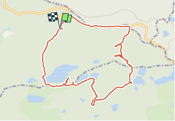

10.7 km | 13.9 km-effort

User


FREE GPS app for hiking
 SityTrail
IGN / Geographical institutes
SityTrail World
The world is yours!
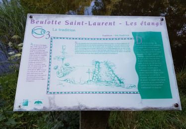
Trail Walking of 5.6 km to be discovered at Bourgogne-Franche-Comté, Haute-Saône, Corravillers. This trail is proposed by annefrance70.
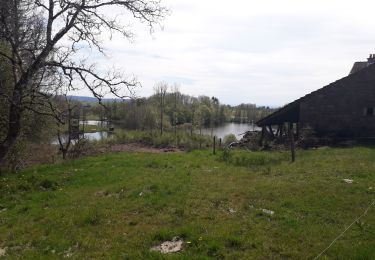
Après l'étang de l'oranger, sentier invisible, horce trace total dans les ronces et le sous-bois très difficile d'accès à pied. Ne pas tenter sans carte.


Walking

Walking
Walking
Walking
Walking
Walking
Other activity
Walking

Walking