Trail Walking Devecey - 2022-10-11_18h19m13_SityTrail - 3419858 - devecey-baumes-version-2 - Photo

2022-10-11_18h19m13_SityTrail - 3419858 - devecey-baumes-version-2

© OpenStreetMap contributors
Length
Length
37 km
Max alt
Max alt
392 m
Uphill gradient
Uphill gradient
678 m
Km-Effort
Km-Effort  
46 km
Min alt
Min alt
217 m
Downhill gradient
Downhill gradient
604 m
Boucle
Boucle
No
Creation date :
2022-10-11 16:19:13.369
Updated on :
2022-10-31 18:02:58.949

(0 Reviews)

Walking
Walking
10h26
Difficulty : Very difficult

Scan this QR Code to open this trail in the SityTrail application

FREE GPS app for hiking

Logo SityTrail SityTrail

IGN / Geographical institutes

Download SityTrail from the App Store Download SityTrail from Google Play

Logo SityTrail SityTrail World

The world is yours!

Download SityTrail from the App Store Download SityTrail from Google Play Download SityTrail on Huawei AppGallery

About

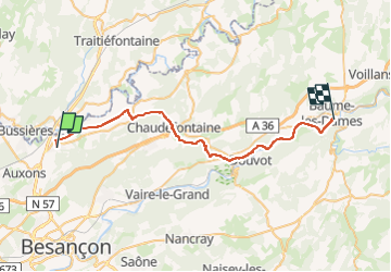
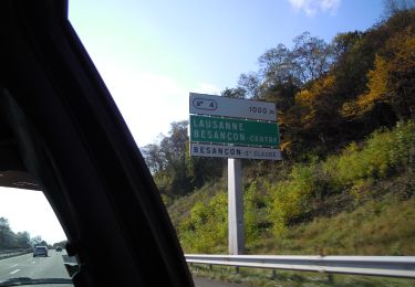
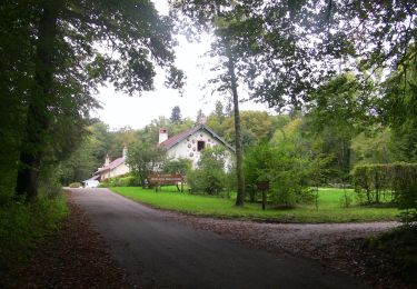
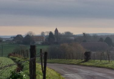
Trail Walking of 37 km to be discovered at Bourgogne-Franche-Comté, Doubs, Devecey. This trail is proposed by Denis Roussel.

Description

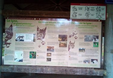
rando pas très difficile hormis la longueur
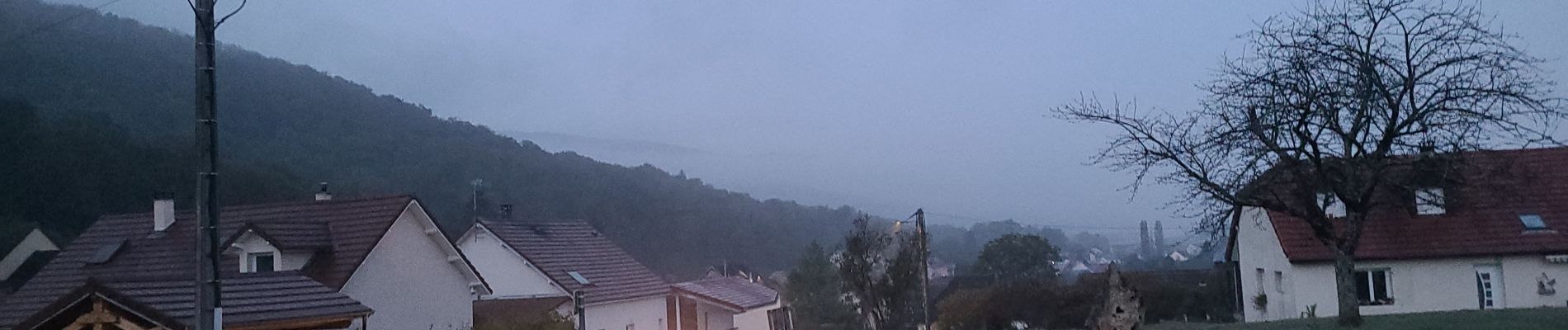
je suis parti à 5h30 et j'ai fait la voie verte de nuit
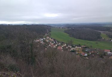
Après pouligney dans les bois des argiliers ne pas suivre mon tracé trop difficile car les coupes peu tracées
il vaut mieux suivre le GR de pays
Après ougney la véloroute en plein soleil et sur le goudron n'était pas un bon choix
je chercherai un autre chemin la prochaine fois

Elevation profile

Photos

Positioning

Country:
France
Region :
Bourgogne-Franche-Comté
Department/Province :
Doubs
Municipality :
Devecey
Location:
Unknown
Start:(UTM)
274367 ; 5245359 (32T) N.

Trails nearby

Trail On foot Besançon - Dame Blanche et Vieux Tilleul - Photo
On foot
PRO

On foot

Medium
Besançon, Bourgogne-Franche-Comté, Doubs, France
14.6 km | 20 km-effort
4h 36min
Yes
Trail Walking Devecey - devecey - Photo
Walking
eltonnermou

Walking

Easy
Devecey, Bourgogne-Franche-Comté, Doubs, France
12.3 km | 17.8 km-effort
5h 0min
Yes
Trail On foot Besançon - Le Vieux Tilleul - Photo
On foot
PRO

On foot

Easy
Besançon, Bourgogne-Franche-Comté, Doubs, France
9.7 km | 13 km-effort
2h 56min
Yes
Trail On foot Besançon - Le Cul des Prés - Photo
On foot
PRO

On foot

Easy
Besançon, Bourgogne-Franche-Comté, Doubs, France
10.2 km | 12.7 km-effort
2h 53min
Yes
Trail On foot Besançon - La Dame Blanche - Photo
On foot
PRO

On foot

Easy
Besançon, Bourgogne-Franche-Comté, Doubs, France
9.5 km | 13.5 km-effort
3h 3min
Yes
Trail On foot Besançon - Les Fonds de Chailluz - Photo
On foot
PRO

On foot

Easy
Besançon, Bourgogne-Franche-Comté, Doubs, France
7.2 km | 9.1 km-effort
2h 4min
Yes
Trail Walking Besançon - Forêt de CHAILLUZ - Photo
Walking
legios84

Walking

Easy
Besançon, Bourgogne-Franche-Comté, Doubs, France
12.2 km | 14.9 km-effort
2h 19min
Yes
Trail Walking Perrouse - Perrouse  - Photo
Walking
eltonnermou

Walking

Easy
Perrouse, Bourgogne-Franche-Comté, Haute-Saône, France
12.5 km | 15.1 km-effort
2h 0min
Yes
Trail Walking Besançon - Fort de la dame blanche - Photo
Walking
sylpiq

Walking

Medium
(2)
Besançon, Bourgogne-Franche-Comté, Doubs, France
11.2 km | 15.6 km-effort
2h 28min
Yes


Close
My subscriptions