


Laroque des Albères 1022

marcheur75
User
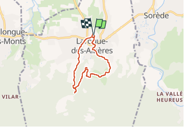

Length
5.7 km

Max alt
193 m

Uphill gradient
115 m
Km-Effort
7.3 km

Min alt
85 m

Downhill gradient
117 m
Boucle
Yes
Creation date :
2022-10-13 08:03:15.503
Updated on :
2022-10-13 10:40:58.554
1h28
Difficulty : Medium

FREE GPS app for hiking
 SityTrail
IGN / Geographical institutes
SityTrail Plus
The world is yours!
About
Trail Walking of 5.7 km to be discovered at Occitania, Pyrénées-Orientales, Laroque-des-Albères. This trail is proposed by marcheur75.
Description
aller-retour la roque-des-albères les cascades le canalet retour par le Mas Bordes
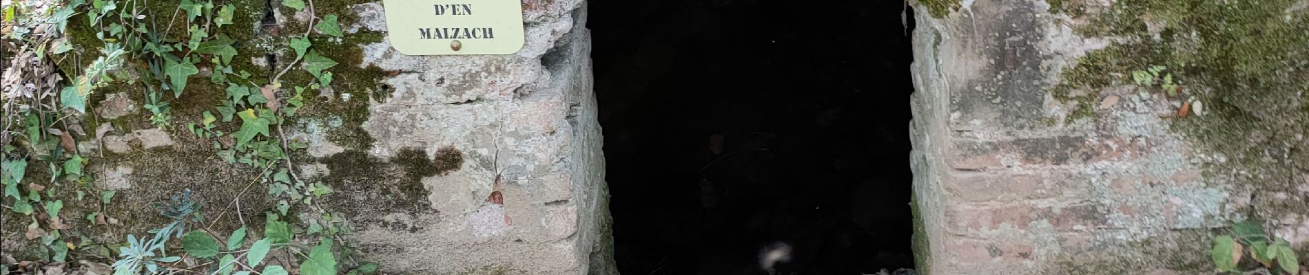
Photos


Positioning
Country:
France
Region :
Occitania
Department/Province :
Pyrénées-Orientales
Municipality :
Laroque-des-Albères
Location:
Unknown
Start:(Dec)
Start:(UTM)
494691 ; 4708114 (31T) N.
Comments