


Rando AGOPOP 1

pconte
User

Length
15 km

Max alt
1703 m

Uphill gradient
611 m
Km-Effort
23 km

Min alt
1151 m

Downhill gradient
609 m
Boucle
Yes
Creation date :
2022-10-16 07:24:49.0
Updated on :
2022-10-16 15:09:46.925
7h05
Difficulty : Very difficult

FREE GPS app for hiking
 SityTrail
IGN / Geographical institutes
SityTrail Plus
The world is yours!
About
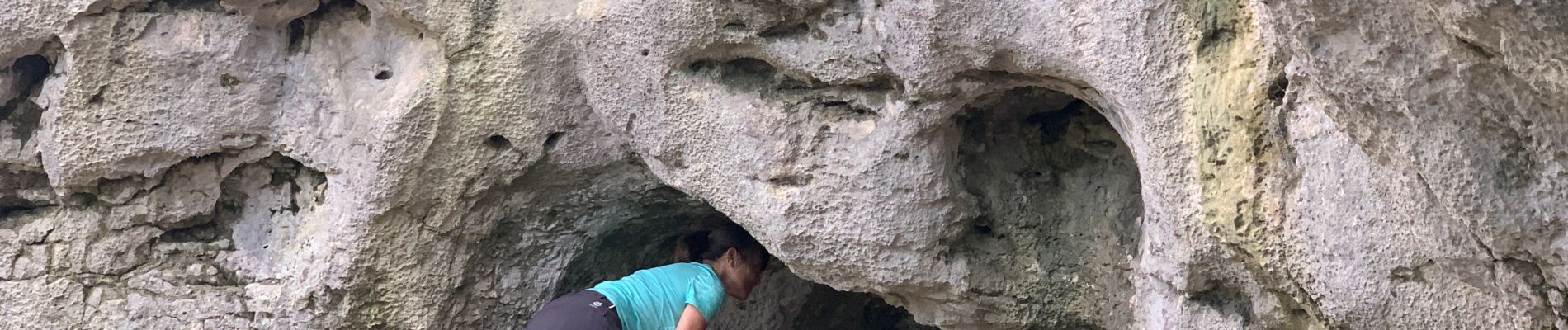
Trail Walking of 15 km to be discovered at Auvergne-Rhône-Alpes, Isère, Corrençon-en-Vercors. This trail is proposed by pconte.
Photos


Positioning
Country:
France
Region :
Auvergne-Rhône-Alpes
Department/Province :
Isère
Municipality :
Corrençon-en-Vercors
Location:
Unknown
Start:(Dec)
Start:(UTM)
698327 ; 4988651 (31T) N.
Comments