Trail Walking Le Hohwald - Le Hohwald Grande Bellevue Cascade de l'Andlau - Photo

Le Hohwald Grande Bellevue Cascade de l'Andlau

 oscar1
oscar1

User

© OpenStreetMap contributors
Length
Length
10.4 km
Max alt
Max alt
856 m
Uphill gradient
Uphill gradient
335 m
Km-Effort
Km-Effort  
14.9 km
Min alt
Min alt
572 m
Downhill gradient
Downhill gradient
335 m
Boucle
Boucle
Yes
Creation date :
2022-10-17 09:24:25.958
Updated on :
2022-10-17 19:48:26.211

(0 Reviews)

Walking
Walking
2h48
Difficulty : Easy

Scan this QR Code to open this trail in the SityTrail application

FREE GPS app for hiking

Logo SityTrail SityTrail

IGN / Geographical institutes

Download SityTrail from the App Store Download SityTrail from Google Play

Logo SityTrail SityTrail World

The world is yours!

Download SityTrail from the App Store Download SityTrail from Google Play Download SityTrail on Huawei AppGallery

About

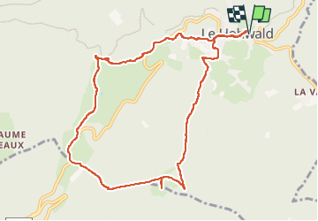
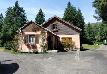
Trail Walking of 10.4 km to be discovered at Grand Est, Bas-Rhin, Le Hohwald. This trail is proposed by oscar1.

Description

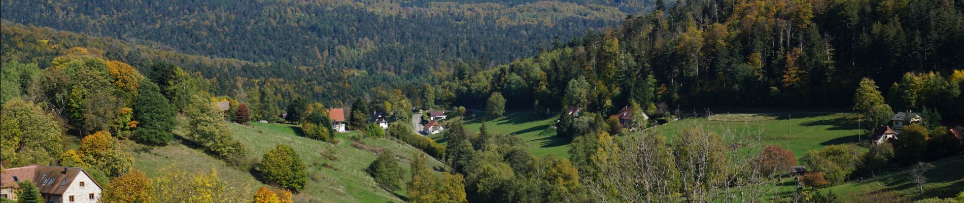
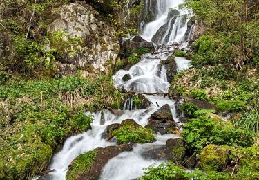
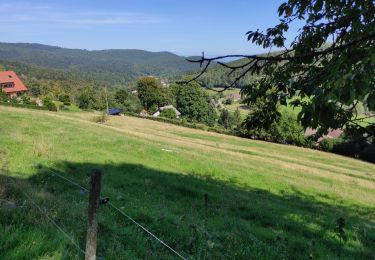
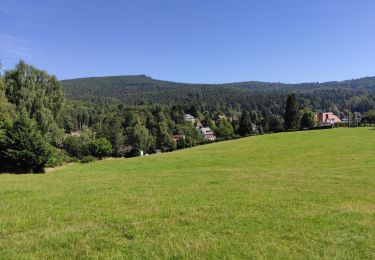
Vue sur le Haut Koenigsbourg depuis la Grande Bellevue. Belle cascade de l'Andlau

Elevation profile

Photos

Positioning

Country:
France
Region :
Grand Est
Department/Province :
Bas-Rhin
Municipality :
Le Hohwald
Location:
Unknown
Start:(UTM)
376343 ; 5362538 (32U) N.

Trails nearby

Trail Walking Le Hohwald - suuntoapp-Hiking-2024-04-27T09-12-29Z - Photo
Walking
GUIDE
holtzv

Walking

Medium
Le Hohwald, Grand Est, Bas-Rhin, France
20 km | 31 km-effort
6h 58min
Yes
Trail Walking Reichsfeld - 2019-12-28 Marche Reichsfeld Ungersberg Gruckert - Photo
Walking
GUIDE
holtzv

Walking

Very easy
Reichsfeld, Grand Est, Bas-Rhin, France
12.2 km | 20 km-effort
3h 5min
Yes
Trail Walking Le Hohwald - Tour du Hohwald - Photo
Walking
zazie

Walking

Medium
(1)
Le Hohwald, Grand Est, Bas-Rhin, France
8 km | 11.3 km-effort
2h 26min
Yes
Trail Walking Ottrott - 2013-12-29 Marche Mt Ste Odile Maennelstein Birkenfels - Photo
Walking
GUIDE
holtzv

Walking

Medium
(1)
Ottrott, Grand Est, Bas-Rhin, France
10.8 km | 15.4 km-effort
3h 24min
Yes
Trail Walking Le Hohwald - Hohwald - Rothlach - Neuntelstein - Photo
Walking
VacheKiri67

Walking

Medium
Le Hohwald, Grand Est, Bas-Rhin, France
15.8 km | 22 km-effort
4h 28min
Yes
Trail Walking Le Hohwald - le hohwald, boucle
Walking
bemurix

Walking

Easy
Le Hohwald, Grand Est, Bas-Rhin, France
3.4 km | 4.8 km-effort
55min
Yes
Trail Walking Le Hohwald - Hohwald (ter) - Photo
Walking
ROPPJP

Walking

Difficult
Le Hohwald, Grand Est, Bas-Rhin, France
11.2 km | 15.6 km-effort
3h 31min
Yes
Trail Walking Le Hohwald - Le Hohwald (bis) - Photo
Walking
ROPPJP

Walking

Medium
Le Hohwald, Grand Est, Bas-Rhin, France
7.9 km | 11.1 km-effort
2h 56min
No
Trail Walking Le Hohwald - Par les sommets autour du Hohwald - Photo
Walking
VacheKiri67

Walking

Medium
Le Hohwald, Grand Est, Bas-Rhin, France
15.1 km | 22 km-effort
4h 7min
Yes


Close
My subscriptions