


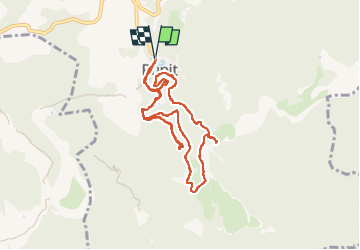


16.3 km | 24 km-effort


User


FREE GPS app for hiking
 SityTrail
IGN / Geographical institutes
SityTrail World
The world is yours!
Trail Walking of 10.9 km to be discovered at Catalonia, Barcelona, Rupit i Pruit. This trail is proposed by emileverschueren.
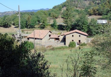
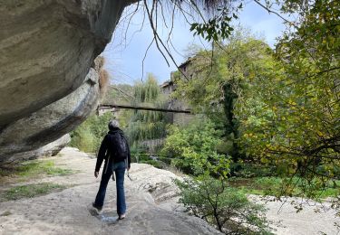
Randonnée fabuleuse.


36 photos in total. Please click on a photo to see them all in the gallery.

On foot
On foot

On foot
Walking