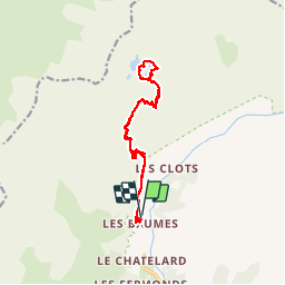
Lacs de Crupillouse

R@ph
User GUIDE

Length
17.4 km

Max alt
2685 m

Uphill gradient
1472 m
Km-Effort
37 km

Min alt
1339 m

Downhill gradient
1479 m
Boucle
Yes
Creation date :
2014-12-10 00:00:00.0
Updated on :
2014-12-10 00:00:00.0
7h27
Difficulty : Difficult

FREE GPS app for hiking
 SityTrail
IGN / Geographical institutes
SityTrail Plus
The world is yours!
About
Trail Walking of 17.4 km to be discovered at Provence-Alpes-Côte d'Azur, Hautes-Alpes, Champoléon. This trail is proposed by R@ph.
Description
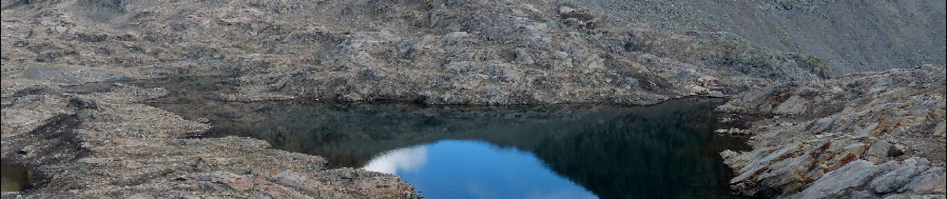
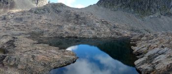
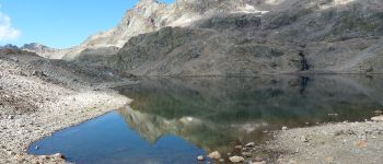
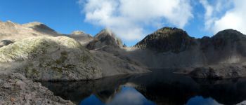
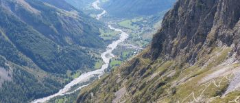
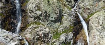
Randonnée dans la vallée de Champoléon vers les lacs de Crupillouse, Longue et pentue mais sans difficulté technique.
Les lacs sont annoncés au départ à 4 h 30 de marche.
Photos


Positioning
Country:
France
Region :
Provence-Alpes-Côte d'Azur
Department/Province :
Hautes-Alpes
Municipality :
Champoléon
Location:
Unknown
Start:(Dec)
Start:(UTM)
282138 ; 4957691 (32T) N.
Comments