


Lac Seigneurie Soultzbach

helmut68
User

Length
10.9 km

Max alt
429 m

Uphill gradient
137 m
Km-Effort
12.7 km

Min alt
360 m

Downhill gradient
142 m
Boucle
Yes
Creation date :
2022-10-16 13:03:21.79
Updated on :
2022-10-20 19:21:14.515
3h26
Difficulty : Easy

FREE GPS app for hiking
 SityTrail
IGN / Geographical institutes
SityTrail Plus
The world is yours!
About
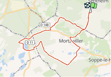
Trail Walking of 10.9 km to be discovered at Grand Est, Haut-Rhin, Sentheim. This trail is proposed by helmut68.
Description
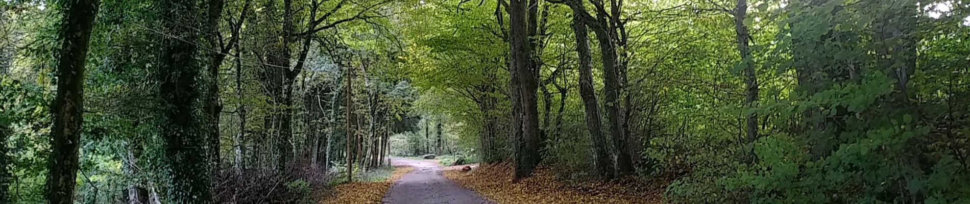
Randonnée à partir de Sentheim.
Photos


Positioning
Country:
France
Region :
Grand Est
Department/Province :
Haut-Rhin
Municipality :
Sentheim
Location:
Unknown
Start:(Dec)
Start:(UTM)
353734 ; 5290450 (32T) N.
Comments