


10.3 km | 14.8 km-effort

User


FREE GPS app for hiking
 SityTrail
IGN / Geographical institutes
SityTrail World
The world is yours!
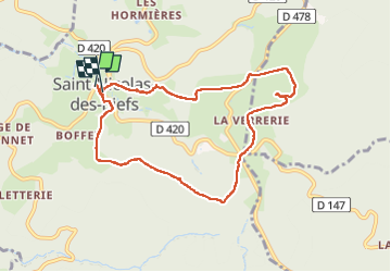
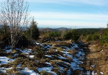
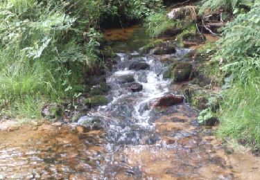
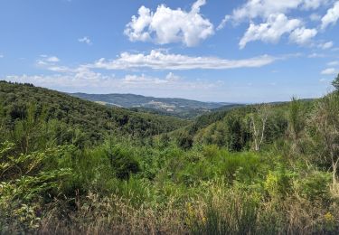
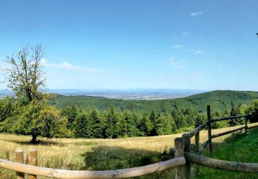
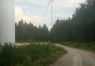
Trail Walking of 8.7 km to be discovered at Auvergne-Rhône-Alpes, Allier, Saint-Nicolas-des-Biefs. This trail is proposed by mimi69670.
Rando à travers champs et bois et hetres


Walking
Walking
Walking
Walking

Walking
Walking
Walking
Walking
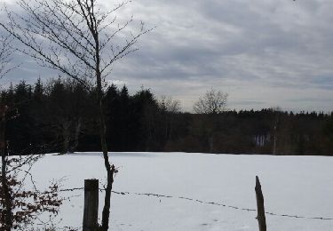
Snowshoes