


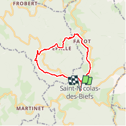

10.3 km | 14.8 km-effort

User


FREE GPS app for hiking
 SityTrail
IGN / Geographical institutes
SityTrail World
The world is yours!
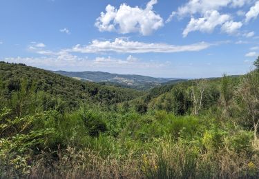
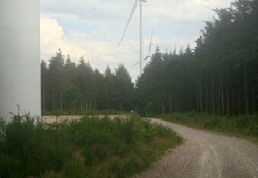
Trail Walking of 11.6 km to be discovered at Auvergne-Rhône-Alpes, Allier, Saint-Nicolas-des-Biefs. This trail is proposed by coco03.


Walking
Walking
Walking

Walking
Walking
Walking
Walking
Walking
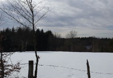
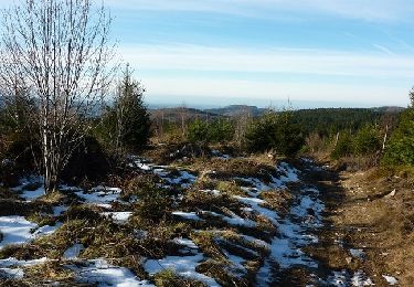
Snowshoes
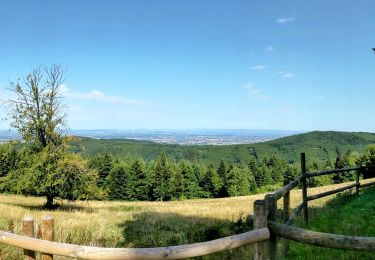
Pour éviter la route goudronnée, je suis parti du centre du Y sur la D477. Le GR est agréable jusqu'à Le Fayot. Attention, avant d'arriver, il faut quitter la D420 et se faufiler le long de la prairie (chemin inexistant) pour rejoindre une petite route forestière goudronnée qui conduit vers un oratoire.