


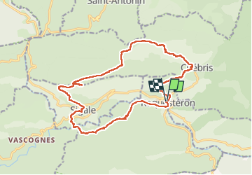


24 km | 46 km-effort

User


FREE GPS app for hiking
 SityTrail
IGN / Geographical institutes
SityTrail World
The world is yours!
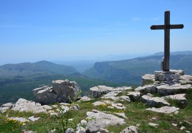
Trail Walking of 22 km to be discovered at Provence-Alpes-Côte d'Azur, Maritime Alps, Roquestéron. This trail is proposed by ETMU5496.
longue randonnée sans difficultés particulières. Le mois d'octobre est propice à la cueillette des chanterelles.


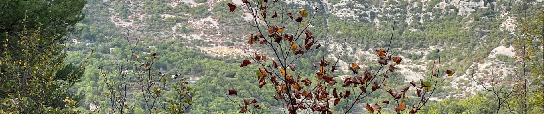
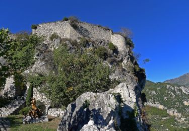
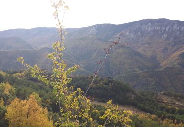
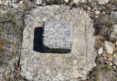
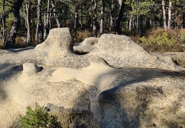
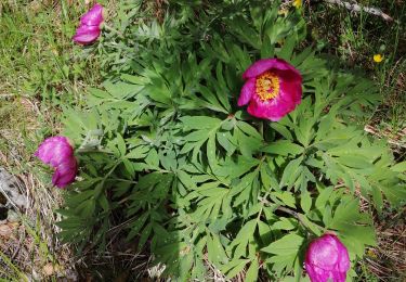
23 photos in total. Please click on a photo to see them all in the gallery.
On foot

On foot

Walking
Walking
Walking
Walking
Walking
Snowshoes
Walking