


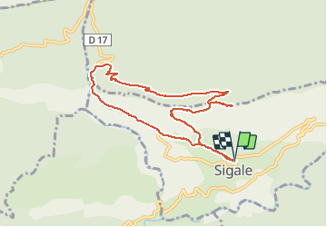


24 km | 46 km-effort


User


FREE GPS app for hiking
 SityTrail
IGN / Geographical institutes
SityTrail World
The world is yours!
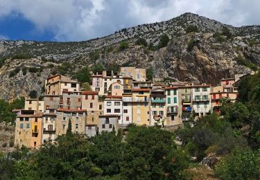
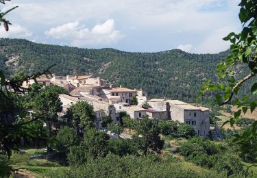
Trail Walking of 9.3 km to be discovered at Provence-Alpes-Côte d'Azur, Maritime Alps, Sigale. This trail is proposed by ch2slv.
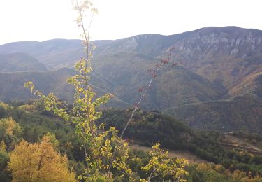
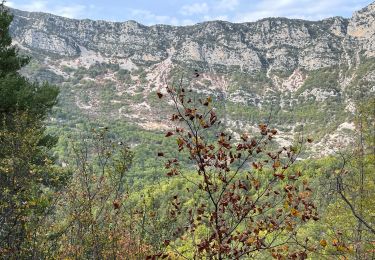
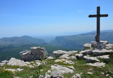
Boucle au départ de SIGALE. En haut vue 360° sur les pré-Alpes.Longue descente en sous bois en ubac vers la belle clue du RIOLAN; Le trajaet retour passe normalement par le petit pont de pierre et évite la route (souvent déserte!)
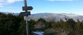
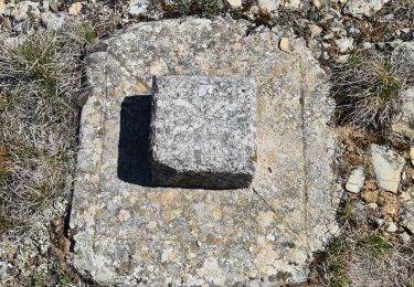
 - Photo 1")
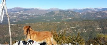
 - Photo 2")
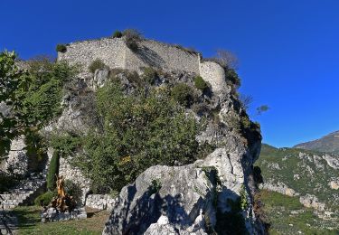
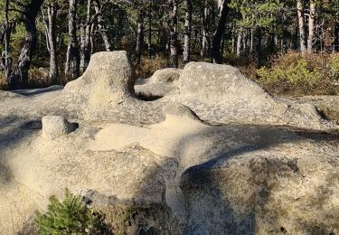
 - Photo 3")
On foot
On foot

On foot
Walking
Walking
Walking
Walking
On foot
Walking
Belle rando avec des paysages variés. Nous avons dévié sur le retour en passant sur le GR651 en contrebas de la route.