


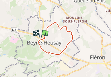

11.6 km | 16.5 km-effort

« L’heure de la fin des découvertes ne sonne jamais. » Colette GUIDE+


FREE GPS app for hiking
 SityTrail
IGN / Geographical institutes
SityTrail World
The world is yours!
Trail Walking of 4.5 km to be discovered at Wallonia, Liège, Beyne-Heusay. This trail is proposed by Au fil de nos découvertes.
Jolie promenade familiale sur les hauteurs de Liège ! ❤️
🅿️ Départ et Parking:
Administration communale de Beyne-Heusay
Pl. Joseph Dejardin 2,
4610 Beyne-Heusay
Possibilités de se garer Rue Neufcour
▶️ Suivre la balise "empruntes d'écureuils"
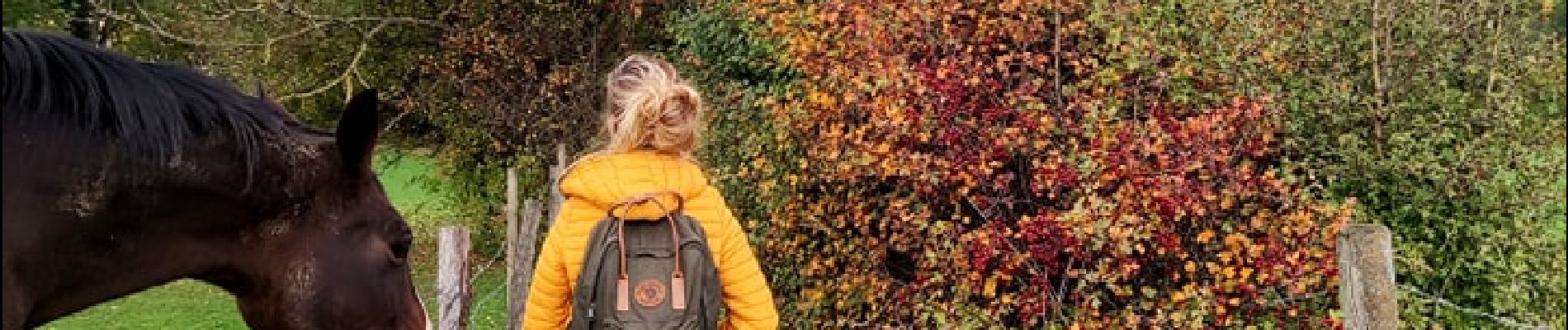
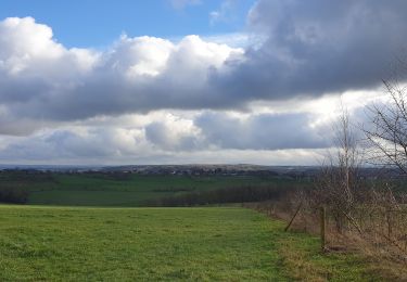
Promenade familiale mélangeant paysages urbains et paysages campagnards.
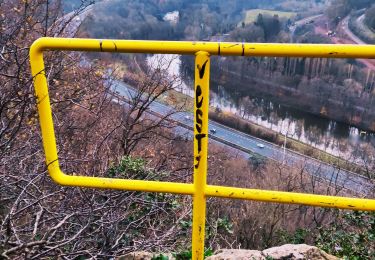
↗️ Grimpette à la fin de la promenade.
Chiens autorisés en laisse. 🐩🐶🐕
Convient pour les enfants - Questionnaire sur la nature (QR Codes), cadeau à la fin à retirer à l'administration communale. 👱👱♂️
Convient pour les poussettes mais pas pour les personnes à mobilité réduite. 👨🦽👩🦽👶
N'hésitez pas à aller faire un tour sur notre site internet : www.aufildenosdecouvertes.com
Instagram :
https://instagram.com/au_fil_de_nos_decouvertes?igshid=3v7ume5rkt12


Walking

Walking

Walking

Walking
Walking
Walking
Walking

Walking
Walking
Cool
super ! QR code illisible a la question 4/4