


Voie des Moussaillons puis Arête sud intégrale de la croix depuis le parking de plan d'anchois

David Virebayre
User
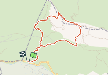

Length
5.6 km

Max alt
900 m

Uphill gradient
579 m
Km-Effort
13.3 km

Min alt
306 m

Downhill gradient
580 m
Boucle
Yes
Creation date :
2022-10-31 06:32:49.903
Updated on :
2022-10-31 15:15:33.935
2h45
Difficulty : Medium
5h30
Difficulty : Easy

FREE GPS app for hiking
 SityTrail
IGN / Geographical institutes
SityTrail Plus
The world is yours!
About
Trail Walking of 5.6 km to be discovered at Provence-Alpes-Côte d'Azur, Bouches-du-Rhône, Saint-Antonin-sur-Bayon. This trail is proposed by David Virebayre.
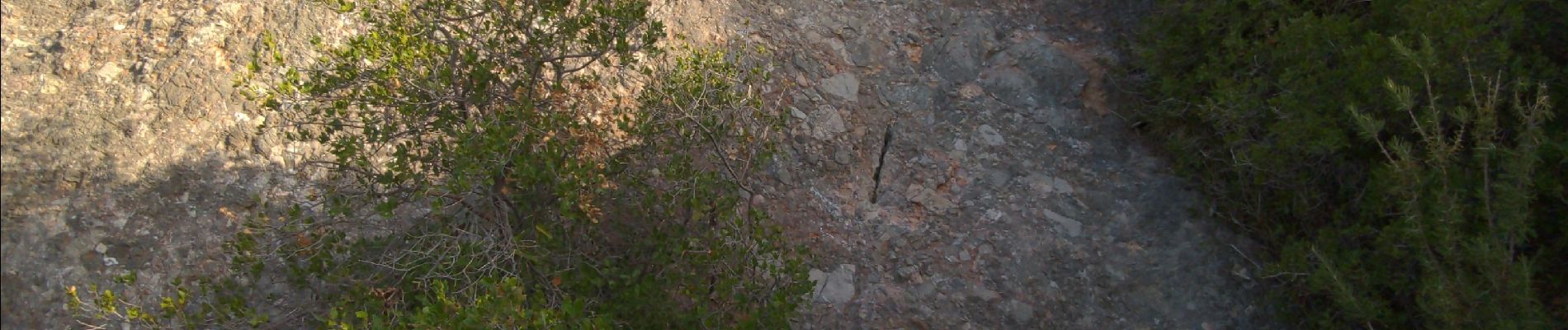
Photos

Positioning
Country:
France
Region :
Provence-Alpes-Côte d'Azur
Department/Province :
Bouches-du-Rhône
Municipality :
Saint-Antonin-sur-Bayon
Location:
Unknown
Start:(Dec)
Start:(UTM)
707319 ; 4822170 (31T) N.
Comments