


12 km | 20 km-effort


User


FREE GPS app for hiking
 SityTrail
IGN / Geographical institutes
SityTrail World
The world is yours!
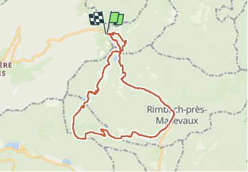
Trail Walking of 17.9 km to be discovered at Grand Est, Vosges, Saint-Maurice-sur-Moselle. This trail is proposed by grattounette.
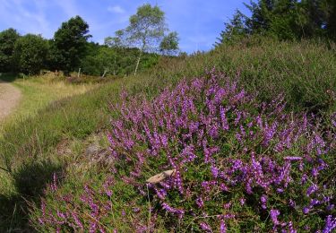
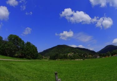
Départ du parking de rouge Gazon en direction de gazon Vert passage au refuge remonter vers le Col des perches en un refuge en rondin a toiture végétalisée au haut bers belle descente vers le lac grand neuweiher avec un refuge tenu par le club vosgien, poursuivre vers le gresson moyen puis après avoir quitté le chemin blanc a travers la prairie vers encore un superbe refuge en rondin ou l'on fera la pose déjeuner poursuivre en redescendant vers le village de Ermensbach suivre le chemin qui surplombe Horben et Rimbach près de Masevaux enfin remonté en direction du lac des perches en passant par Neumatt et le refuge de basse bers et le rocher du corbeau et retour par le Col des perches vers rouge Gazon
Walking

Walking
Walking

Walking

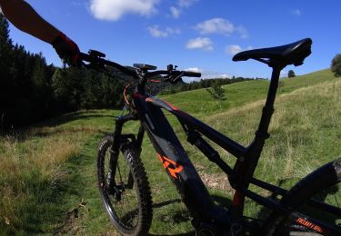
Mountain bike
Walking
Mountain bike
Mountain bike
Mountain bike