Trail Walking Storckensohn - 2022-07-16 Marche Auberge Gazon Vert Chapelle des Ves - Photo

2022-07-16 Marche Auberge Gazon Vert Chapelle des Ves

 holtzv
holtzv

User GUIDE

© OpenStreetMap contributors
Length
Length
21 km
Max alt
Max alt
1160 m
Uphill gradient
Uphill gradient
1121 m
Km-Effort
Km-Effort  
37 km
Min alt
Min alt
596 m
Downhill gradient
Downhill gradient
1304 m
Boucle
Boucle
No
Creation date :
2022-07-16 06:50:20.691
Updated on :
2022-07-18 08:28:31.228

(0 Reviews)

Walking
Walking
6h11
Difficulty : Very difficult

Scan this QR Code to open this trail in the SityTrail application

FREE GPS app for hiking

Logo SityTrail SityTrail

IGN / Geographical institutes

Download SityTrail from the App Store Download SityTrail from Google Play

Logo SityTrail SityTrail World

The world is yours!

Download SityTrail from the App Store Download SityTrail from Google Play Download SityTrail on Huawei AppGallery

About

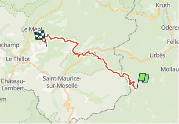
Trail Walking of 21 km to be discovered at Grand Est, Haut-Rhin, Storckensohn. This trail is proposed by holtzv.

Description

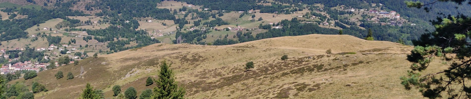
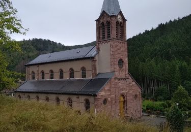
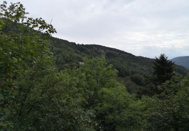
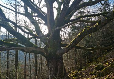
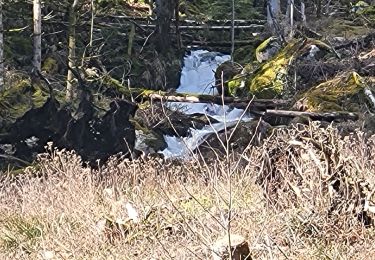
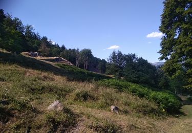
Passage par le pré du Gazon Vert et son bel abri pour randonneurs, la tête du rouge gazon, la cuisine du Diable, la chaume des Neufs Bois et sa tourbière, les roches de Sabbat, le chalet des Evaux, un beau pré de la Broche avec la statue Ste Barbe en descente vers Bussang, le théâtre du peuple de Bussang, la croix de la Fresse, le déjeuner à la tête des Révolles avec la vue sur le Drumont, et le Haut de la Lochère avec la tête des Renards avant de récupérer la voiture à la chapelle des Vés.

Elevation profile

Photos

Positioning

Country:
France
Region :
Grand Est
Department/Province :
Haut-Rhin
Municipality :
Storckensohn
Location:
Unknown
Start:(UTM)
344974 ; 5301959 (32T) N.

Trails nearby

Trail Walking Rimbach-près-Masevaux - Haute Bers - Photo
Walking
helmut68

Walking

Medium
(1)
Rimbach-près-Masevaux, Grand Est, Haut-Rhin, France
12 km | 20 km-effort
3h 25min
Yes
Trail Walking Bussang - Col de Bussang - Rouge Gazon - Séchenat - Photo
Walking
VacheKiri67

Walking

Difficult
(1)
Bussang, Grand Est, Vosges, France
15 km | 24 km-effort
6h 0min
No
Trail Walking Sewen - Boucle entre les lacs de Sewen et d'Alfeld - Photo
Walking
tracegps

Walking

Medium
(1)
Sewen, Grand Est, Haut-Rhin, France
8.1 km | 12.3 km-effort
2h 30min
Yes
Trail Walking Sewen - lac d'Alfeld  - Photo
Walking
klopbill

Walking

Very difficult
(1)
Sewen, Grand Est, Haut-Rhin, France
17.1 km | 28 km-effort
8h 7min
Yes
Trail Walking Storckensohn - lac des perches marchettes - Photo
Walking
lacote

Walking

Medium
(1)
Storckensohn, Grand Est, Haut-Rhin, France
11.9 km | 20 km-effort
4h 8min
Yes
Trail Mountain bike Bussang - VTT de bussang de 33klm - Photo
Mountain bike
GUIDE
pascalou73

Mountain bike

Difficult
Bussang, Grand Est, Vosges, France
33 km | 46 km-effort
2h 57min
Yes
Trail Walking Sewen - Rando des Marcheurs par Alain..13/03/2024 - Photo
Walking
boubou68

Walking

Very difficult
Sewen, Grand Est, Haut-Rhin, France
18.9 km | 31 km-effort
5h 36min
Yes
Trail Walking Rimbach-près-Masevaux - Rimbach - lacs du Neuweiher et des Perches par Rouge Gazon - Photo
Walking
Bart2015

Walking

Very difficult
Rimbach-près-Masevaux, Grand Est, Haut-Rhin, France
17.1 km | 28 km-effort
6h 18min
Yes
Trail Walking Storckensohn - Storckensohn Gazon Vert - Photo
Walking
helmut68

Walking

Difficult
Storckensohn, Grand Est, Haut-Rhin, France
13 km | 21 km-effort
4h 40min
Yes


Close
My subscriptions