


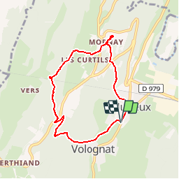

10.5 km | 14.5 km-effort

User


FREE GPS app for hiking
 SityTrail
IGN / Geographical institutes
SityTrail World
The world is yours!
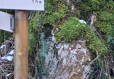
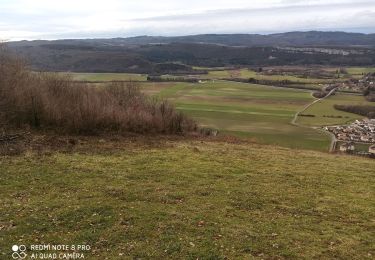
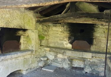
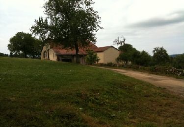
Trail Walking of 6.8 km to be discovered at Auvergne-Rhône-Alpes, Ain, Nurieux-Volognat. This trail is proposed by romain-donner.
balade dans le haut bugey


Walking
Walking
Walking
On foot

On foot
Walking
Walking
Walking
Walking