


Lac Forlet

helmut68
User


3h39
Difficulty : Medium

FREE GPS app for hiking
 SityTrail
IGN / Geographical institutes
SityTrail Plus
The world is yours!
About
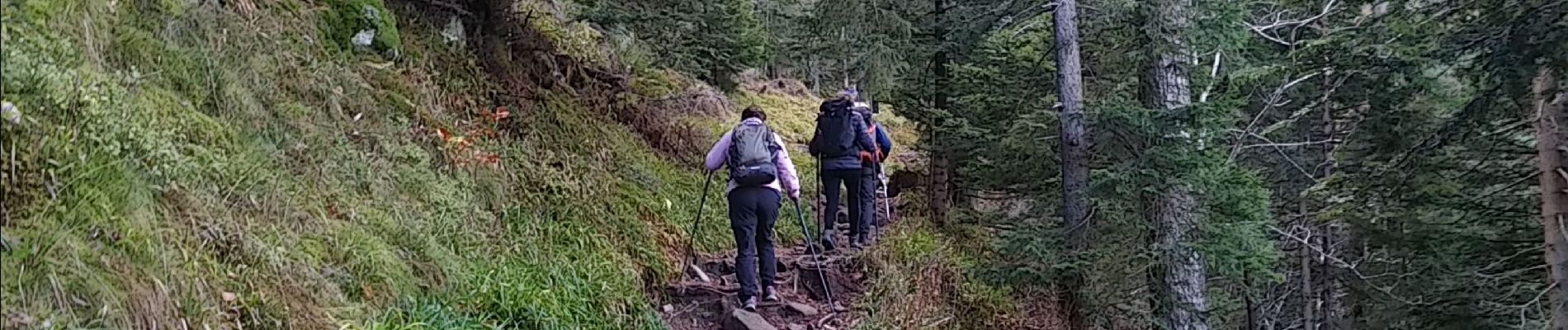
Trail Walking of 8.6 km to be discovered at Grand Est, Haut-Rhin, Orbey. This trail is proposed by helmut68.
Description
Départ au parking du Lac Noir , prendre le balisage " disque bleu " jusqu'au Altenkraehkopf ( 1271 m ) . Profiter du super point de vue . Ensuite emprunter le sentier balisé " triangle rouge " jusqu'au Lac Forlet . Admirer le cirque glaciaire datant d'il y a environ 10 000ans ou des chamois aiment bien s'y aventurer . Pour le retour utiliser le balisage " disque jaune " jusqu'au croisement avec le GR532 " rectangle jaune "
Emprunter ce dernier jusqu'au retour du parking du Lac Noir .
Très belle randonnée , points de vues exceptionnelles ...
Alors à vos chaussures !
Photos


Positioning
Comments