


croix du niveler par cheminée

Tof Tof
User

Length
10.7 km

Max alt
1544 m

Uphill gradient
801 m
Km-Effort
21 km

Min alt
784 m

Downhill gradient
806 m
Boucle
Yes
Creation date :
2022-11-11 11:42:46.404
Updated on :
2022-11-11 17:39:51.473
5h00
Difficulty : Difficult

FREE GPS app for hiking
 SityTrail
IGN / Geographical institutes
SityTrail Plus
The world is yours!
About
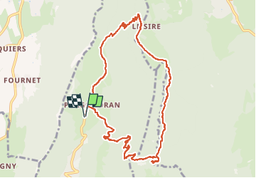
Trail Walking of 10.7 km to be discovered at Auvergne-Rhône-Alpes, Savoy, Verel-Pragondran. This trail is proposed by Tof Tof.
Positioning
Country:
France
Region :
Auvergne-Rhône-Alpes
Department/Province :
Savoy
Municipality :
Verel-Pragondran
Location:
Unknown
Start:(Dec)
Start:(UTM)
729932 ; 5056202 (31T) N.
Comments