


13 km | 14.9 km-effort


User


FREE GPS app for hiking
 SityTrail
IGN / Geographical institutes
SityTrail World
The world is yours!
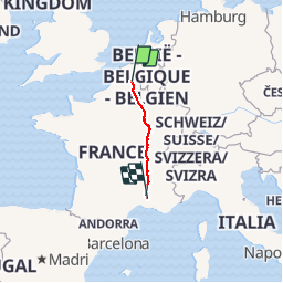
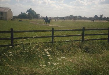
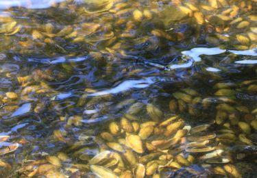
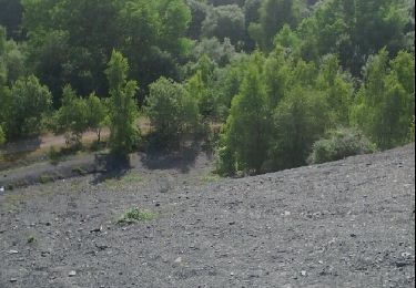
Trail Cycle of 885 km to be discovered at Hauts-de-France, Nord, Valenciennes. This trail is proposed by guizite.
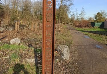
Commémoration


Walking
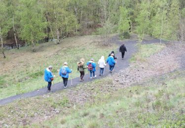
Walking
Walking

Walking
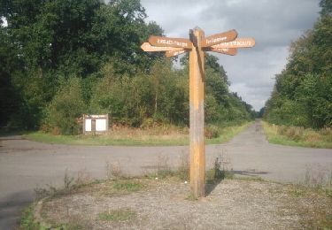
Walking
Walking
Walking
Running

Walking